

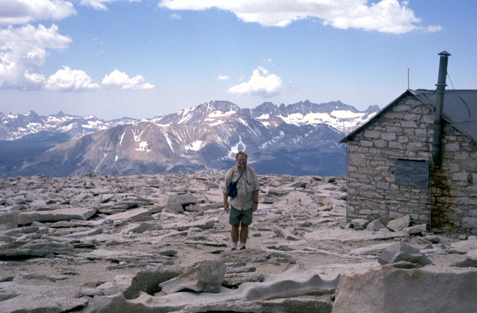
In the southwest corner of Colorado to the west of my home in Durango is the oldest sub-mountain range of the San Juans named “La Platas” from their silver mining heritage. The main drainage of the mountains is surrounded by a dozen or so peaks from 11 to over 13,000 feet high. This spring the conditions were finally melted out enough to attempt a traverse of peaks of the west side. I had explored many of the sections on this route, but had never connected them all together in one full go.
Parrot mountain was the first on the list. A few miles on a rough jeep road took me to a wide drainage that went straight up to the saddle about 500 feet below the summit. A short walk over loose boulders past the false summit got me to the top, about 3,000 feet up from the car in less than 4 miles.
Following the ridgeline, the next few peaks are pretty straight-forward Class 2 hikes I called “the cruiser peaks”. I could see Utah’s La Sal peaks and the “Sleeping Ute” off to my left and the rest of the San Juans to my right. Next was Madden, then Star, and more ups and downs on the ridge took me to the end of the easy peaks with Gibbs.
The saddle from Gibbs to Burwell is fairly wide, but as with my last time up here, I could not find an easy way down to and was forced to do my first down climb of the route. As a foreboding sign, when I tossed my pack down the 30 foot drop, it started to roll down the ~40 degree slope below and didn’t stop for another about 100 vertical feet. Next was my turn, and luckily a little more controlled. The rock in this area is not often stable, so it is difficult to get reliable steps and holds at times. This small down climb ended up being the area that I felt was most dangerous on the whole route, despite the dramatic route to come.
By the time I got to Burwell Peak, nearly every movement on the ridge was with 3 points of contact, the pace had severely slowed, and the feeling of being in real mountains was all around. More route finding and scrambling brought me along a climbing ridge to the summit of Spiller Peak where the infamous knife ridge begins.
Immediately coming off the Spiller summit, I had to drop about 20 feet down the west side of the ridge before climbing back on the ridge where I was able to stay for the rest of the kniferidge. I couldn’t believe it, but the only other people I saw on the route all day were on this extremely exposed spot. Luckily they were fairly far ahead of me as this is not a fun place to be near others as the rocks move. And all the rocks move.
The knife ridge was full on, as expected. It’s at 13,000 feet for close to a half mile with several thousand feet of relief to either side. 3 points of contact are mandatory most of the time, as none of them are likely reliabel holds. Often as I was moving, my right leg would be on the east side and my left would be straddled over to the west. But finally I made it to the summit of West Babcock with one challenge done, it was on to the part of the route that I was most intimidated by.
There are two ways I know of to get down into Tomahawk basin: more class 4 and 5 ridge down climbing to a hike-able chute, or a 1,000 foot descent down a coulaire that holds snow year round. The latter is what I had planned and the reason I brought along an ice axe this far in June. Plus by this point, I was ready to be on anything except crumbling rock.
I had carried an ice axe before, but never used it in a meaningful way. I had spent the previous evening not sleeping and nervously looking up instructional videos on how to use the thing, so it was an overwhelming feeling of relief when the slide down went exactly as I hoped. I was able to slide on the solidified snow down the 1,000 vertical feet, mostly on my butt. I used the handle wedged in my armpit to control my speed mostly, only having to flip to my stomach and dig the handle in to stop a couple times when I started moving too fast. I was yelling with relief and exhilaration when I finally got to look up the drainage and see my slide next to the ski lines someone put down recently.
I dropped another 1,000 feet through Tomahawk Basin’s boulder field where I was finally able to fill up on water again. I continued until I finally got to the old mining road on the south face that takes you up just a climb a couple hundred feet from the summit of Diorite Peak. Before I could do the last scramble to the top I had to take shelter in one of the old mines from some hail/snow for about 30 minutes. I had plans to complete the more reasonable east ridge as well, but as often happens with Colorado’s summer afternoons, weather would dictate otherwise.
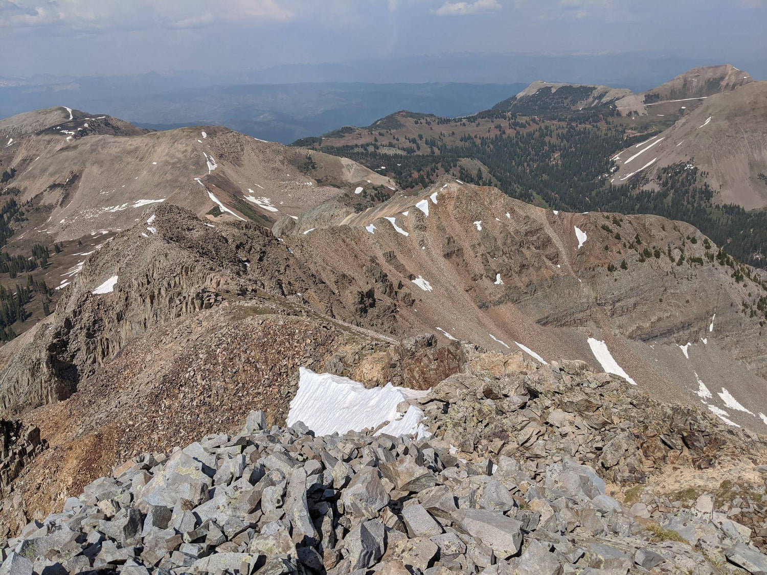
The ridge from the summit of Diorite to the Colorado Trail was the only section of trail on this route I was completely unfamiliar with, and it was one of my favorites of the route. It was difficult to stay exactly on the ridge, so I kept bumping off to either the snowy left side with views of Indian ridge and the several mountain ranges off to the northwest, or to the rocky right side with Snowstorm and Lewis mountains dominating the view. Mostly more class 2&3 for another mile before finally getting back to a real single-track, maintained trail! Around this point I noticed that the previous 4 miles took 5 hours to traverse, and I thought I was moving pretty efficiently.
Essential Gear:
Shoes: Altra’s most rugged pair of trail runners, the King MT 2.0s. The huge lugs on the Vibram sole paired with a stiff rock plate made this the perfect shoe for the loose scrambles as well as when I needed the smallest bit of shoe to grip a rock to step up.
Navigation: I mostly knew the route, but I did find the barometer in my Suunto 9 helpful paired with an elevation profile. Using those two, it was helpful to know what was a false summit and always know how much more up to go to the next peak. Although it only took 12 hours to do the west ridge loop, it’s also nice to have a watch battery life that was able to last a second round even though I was done.
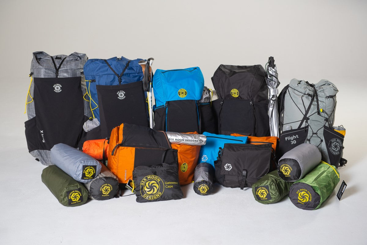
Pack: I used Six Moon’s Designs' Swift X pack with the running vest inspired shoulder straps and ice axe loop. I didn’t carry that much gear, so it was nice that the whole pack Cinches down to accommodate little more than a day’s worth of food and a jacket. The first person I know to attempt the loop ended up spending a night on top of Kennebec Pass, so using the pack as a half bivy was always in the back of my mind too.
Nutrition: I filtered water with Katdyn’s “Be Free” filter and then added Tailwind’s Colorado Cola to every bottle. I also ate a few Kind bars and Snickers, a daily habit that hasn’t left since the AT in ‘15. I rounded it out with some sunflower seeds and an assortment of chocolates.
This route is certainly an adventure that took me far from my comfort zone of running trails and backpacking. It was a challenging and rewarding ridge that I am very proud to have finally completed. Cheers to the next adventure!
Words and photos by Kyle Curtin.
Leave a comment
This site is protected by hCaptcha and the hCaptcha Privacy Policy and Terms of Service apply.