


The Mountian to Sea trail in North Carolina is an 1175 mile route that does what the name implies and takes ambitious thru-hikers from the Appalachian Mountains in the west to the Atlantic Ocean. A 62 mile section of the route from Mount Pisgah to Mount Mitchellwas popularized and named "Pitchell'' by an Asheville runner named Adam Hill. Pitchell intersects the Blue Ridge Parkway numerous times along the route and generally makes for easy access and crew/aid stations. Several people have run impressive times on the mountainous route, setting new men's and women's records in the last couple of years.
The next 15 miles were mostly downhill and still in the dark in an area called "Shut-in". Because of the BRP closure and the early hour, I had this smooth and fast section of trail (and the sunrise) all to myself. The first checkpoint I had to compare to Pope's times was at the crossing of the French Broad River at the end of this downhill section and 18 miles in total. Our times were just a few seconds apart. So far, so good! I saw my dad here again for the first time since Elk Pasture Gap and dropped my headlamps, jackets and kept moving forward.
The middle section of trail seemed the most popular because of its easy access for Asheville and the relative smoothness as it criss-crossed with the BRP over and over. Because of these crossings, I was able to run with little more than a bottle that I would swap out with my dad regularly. The rest of my family visiting for Christmas came to the Folk Art Center, but it was a very brief greeting. I was moving well and was a couple minutes ahead of record pace at this point, but the trail was about to get much more difficult.
On the whole, Pitchell has about 15,000 feet of elevation gain, but almost all of that is stacked up in the last third. Over the first 30 miles that compose the downhill section and the flat rolling trail around the FAC, I was able to average 9 minute miles. From where I was now Pope's record pace was about 4mph, which meant I picked up trekking poles for the hiking on the uphills ahead. Not to mention the snow and ice that was still lingering on the trail at the higher elevation! I ran the first 30 miles in about 4:30, but the second half would take over 7.
At Ox Creek Rd, I saw the crew vehicle for the last time, but with 25 miles to go, I needed one more resupply. As I started the 2,500 foot climb up Lane Pinnacle, my dad rode my mountain bike up 1,500 feet on the closed BRP about 7.5 miles up to the next road intersection at Potato Field Gap, the last time the trail would drop below 5,000 feet. Later he would tell me he was going as fast as he could and was totally gassed, but was able to beat me to the meeting spot by about 10 minutes to get me my pack filled with 90 oz of fluid and nutrition. And a headlamp, just in case. I was 17 minutes ahead of Pope's splits here with the most rugged section of trail ahead.
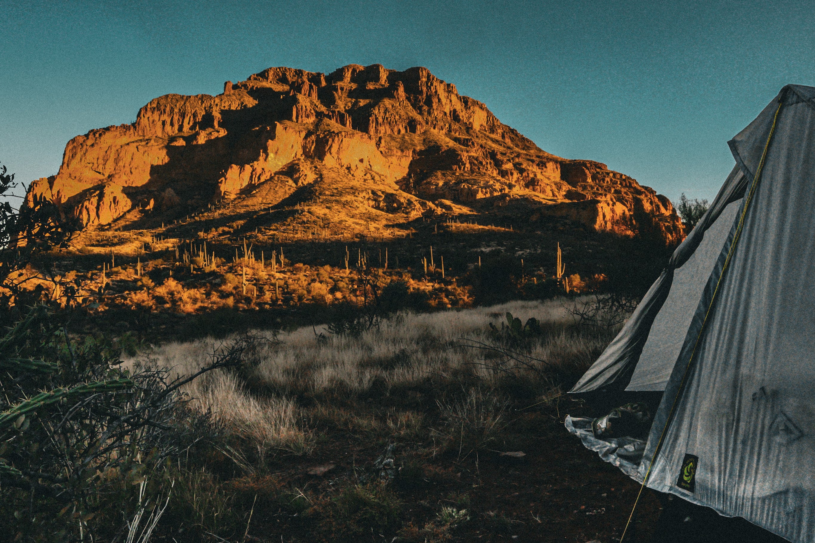
The remainder of the route was dusted with snow and ice, which seemed to smooth out the notoriously rugged section of trail around Craggy Dome. As the afternoon sun waned on my hike up Walker Knob, I saw something shocking: another person! I'm not sure where he came from, but mine were the only footprints in the snow for miles. I think he was just as surprised to see someone, especially in short shorts! These were the slowest miles of the day caused by several downed trees and an amazing amount of roots, but from here I could see my finish line on the Black Mountain Crest that contains several of the highest peaks east of the Mississippi. I knew I was moving well, but was pretty unsure of my relation to Pope's record pace, or exactly how many miles remained.
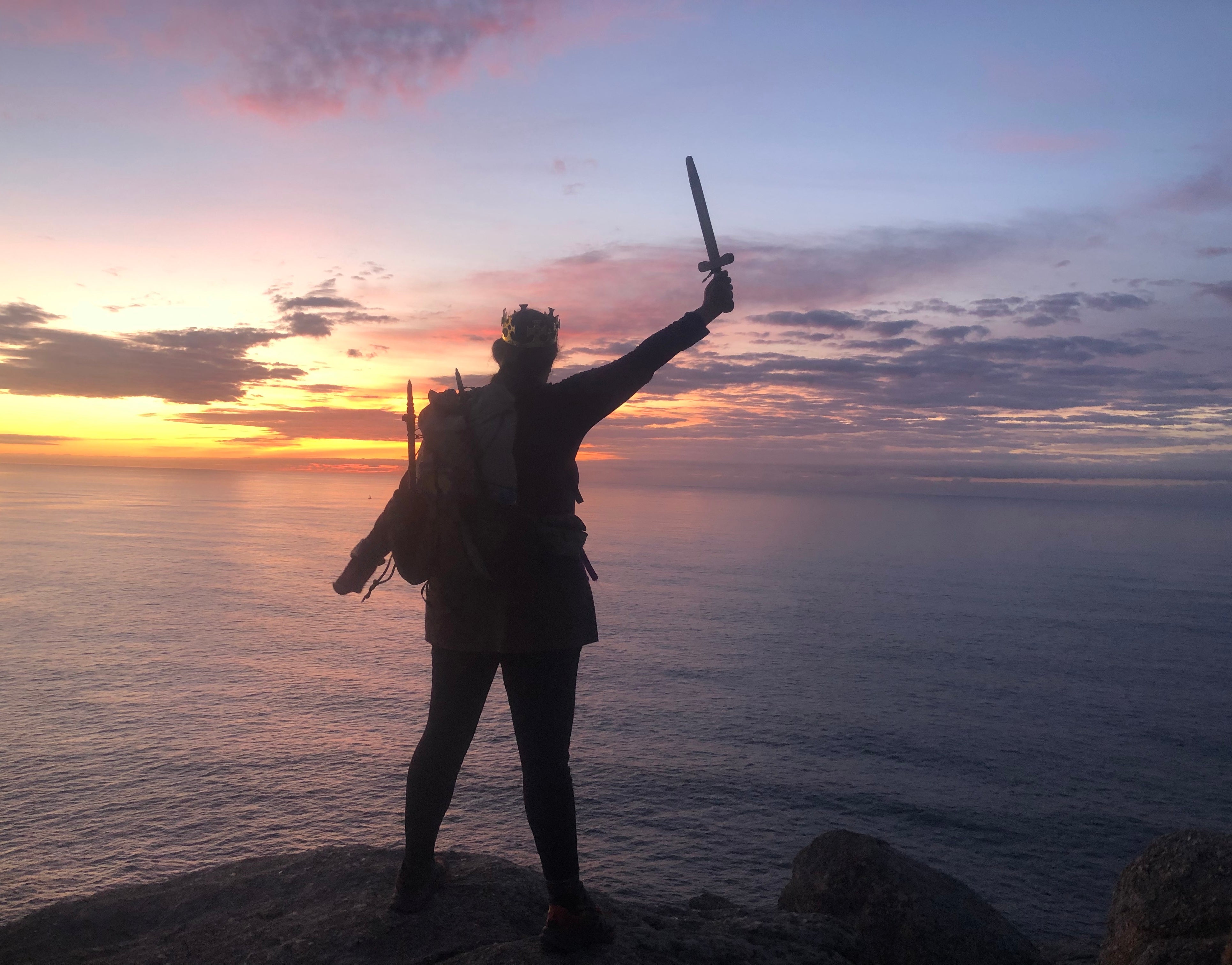
The trail became familiar to me and runnable again on the Buncombe Horse trail that leads to the final pitch up Mt Mitchell. This section is a mellow road grade and width that is a welcome reprieve from the gnarly trail that comes both before and after. After these final three miles of actual running, the final ascent going up Mitchell was a mile long and 900 feet up a series of mini ice pitches. I relied heavily on the carbide tips of my poles and some exposed organic material on the edges of the trail that gave me enough ground-grip to make it up to the 6684 foot summit. I stepped on the geologic marker at the top of the lookout platform 11 hours and 47 minutes from when I started off from Pisgah: A new FKT! A wind event was underway, and there were no other people up there, so my celebration was just a couple selfies and a quick call to my dad.
Leave a comment
This site is protected by hCaptcha and the hCaptcha Privacy Policy and Terms of Service apply.