
In June I took on two of my long-time goals, Mount Williamson and Mount Tyndall. In December, after yet again researching the California peaks, I decided to plan my June attempt of my sixth and seventh 14,000’ peaks in California. I planned out a six day and five-night route, booked the permits, and started wondering if these were peaks I could actually summit.
Five years ago, I went on my first backpacking trip in the Eastern Sierra. Four years ago, I submitted my first 14,000-foot peak in California, Mount Whitney. For most people who summit Mount Whitney, it is their first ‘California Fourteener’. I say California Fourteener because there are between 50 and 60, 14,000-foot peaks in Colorado, and one in Washington state, the high point Mount Rainier, and about 14 in California. I say "about" because sometimes there’s a ridge that could be considered to have several little peaks, but it’s just counted as one peak above 14,000 feet. Mount Whitney is the highest peak in California and the highest peak in the lower 48 states, and I might argue it is the easiest and most accessible California Fourteener. Debates continue about whether Mount Langley also with a trail, but a lot of sand, or White Mountain with the least elevation gain, but a long dirt road drive, are easier, but they do not attract the crowds that Whitney does.

Over the last few years, I summited Mount Whitney a second time, and third time. I summited Mount Langley twice, White Mountain and Mount Shasta once each, and on an 11-day PCT section hike last year, I summited Split Mountain. Revisiting the summit post list of California Fourteeners, and studying maps, I decided Mount Williamson and Mountain Tyndall would be my next attempts.
In December, I planned out a six day and five-night route, booked the permits, and started considering if these were peaks I could actually summit. In early June, the school year ended, and I immediately set off on the first of my teacher summer vacations. I passed through the beautiful June Lake area, and my beloved Mammoth Lakes, which is my favorite place in California. I then continued to Independence, California to meet up with two of my favorite backpacking friends. They dropped one car at Whitney Portal and met me at Onion Valley at 9600'. Onion Valley is a campsite which requires reservations, and a trailhead parking lot, with pit toilets, many bear lockers, and no phone reception.

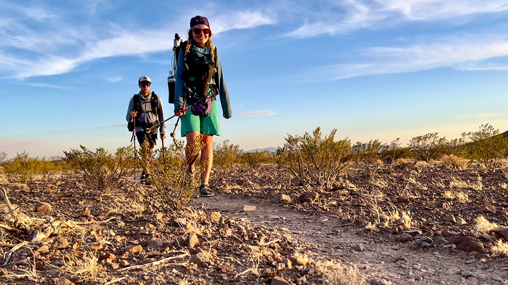
The next morning, we set off on our six-day backpacking trip and the first challenge was going up and over Kearsarge Pass at 11,709'. I have climbed this pass several times but it’s always a challenge with a heavy pack, a week's worth of food in a bear can, and all the gear that it takes to live in the back country for a week, or in this case six days. We hiked up and over Kearsarge Pass, admired the views from the top looking both west towards Owens Valley and across the 395, the Inyo Mountains, and east toward the Sierra Nevada including Kings Canyon. We continued down the west side of the pass, past Kearsarge Lakes and Bullfrog lakes, and then joined the PCT southbound, and switchbacked all the way down to Bubbs Creek. All along the way we passed dozens of PCT hikers, who were excited to leave the trail the way we came in, and hitch to Bishop for a resupply. We got a lot of questions about why we had climbing helmets, and none of them had ever heard of Mount Williamson or Mount Tyndall. We camped our night at a campsite with a bear locker, along Bubbs Creek, that I had stayed at years ago.
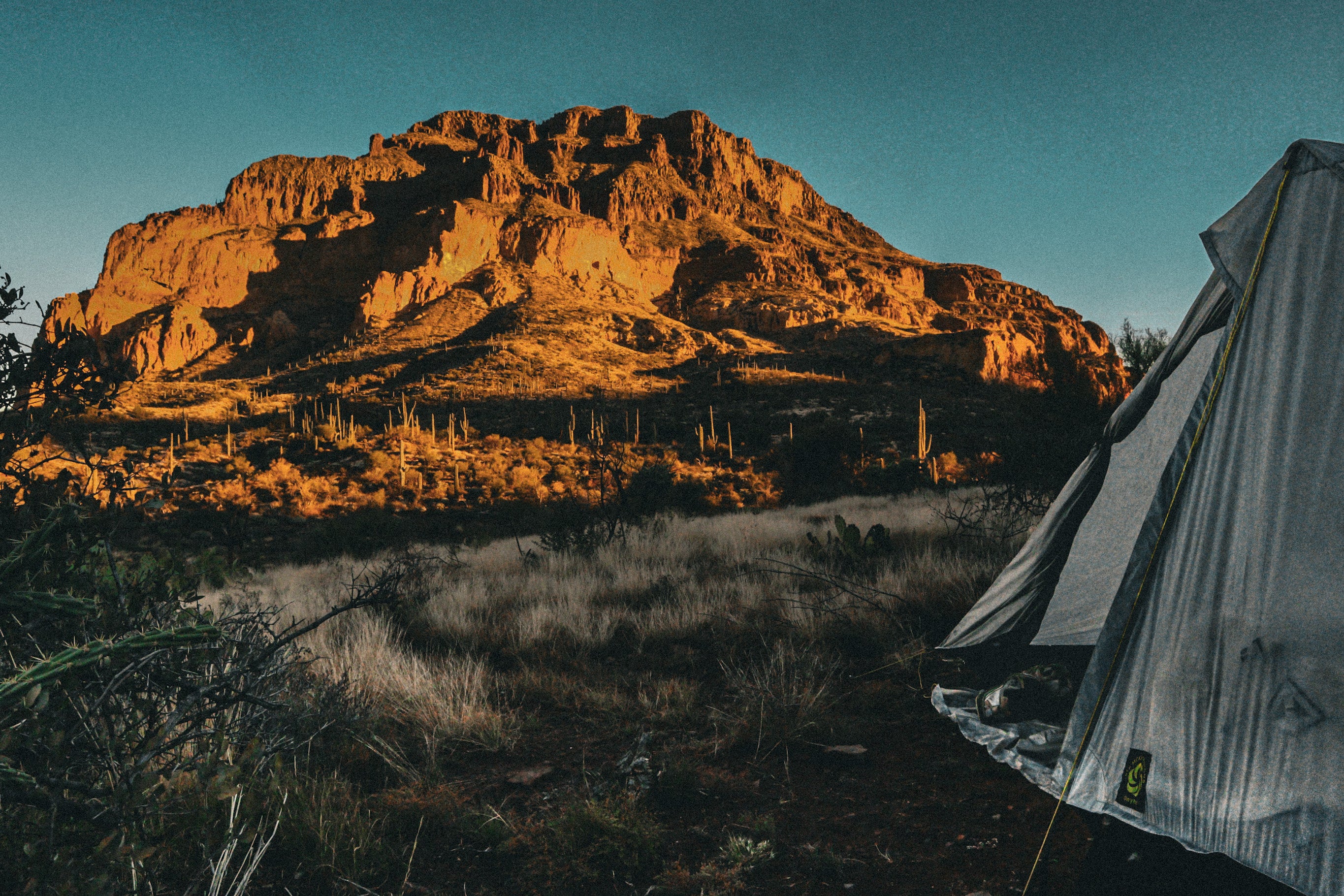
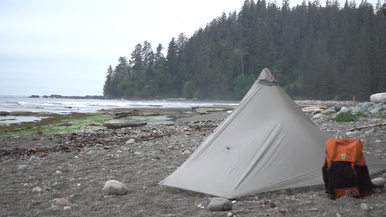
On day two we left the PCT and immediately started toward Junction Pass. First, we walked across a trail-less meadow, and then started climbing up desolate Junction Pass which used to be the old Forester Pass before Forester was blasted away with dynamite and now is the highest point on the PCT. From the top of Junction Pass, 13,077', we could see tiny dots of PCT hikers on Forester Pass and thought about how they have no idea that we were over here, and they have no idea that this trail we were on, even exists. On the southside of Junction Pass we scrambled down loose rock on a mostly washed-out trail, along the side of a steep mountain, all the way until we met up with Shepherd Pass. We cut across to the Shepherd Pass trail and climbed about another one thousand feet up to the top of the Shepherd Pass, 12,000'. From there we passed the first large lake and went up to the second lake which was really just a frozen snow puddle, with a tiny, melted area that would be our water source for the next few days at our basecamp. We set up camp, and said good night, high up above the tree line.

On day three we decided to go for the longer hike of the two peaks, Mount Williamson. We first had to cross the Williamson Bowl which proved to be extremely challenging and what seemed to be a never-ending boulder field with patches of snow in between. We finally reached the base of Mount Williamson, put on our helmets in case of any loose rocks falling, and followed a Gaia track which was definitely not a trail, up the steep mountain. As we neared the top, we left our packs and had to rock climb up a chimney, which was probably about 30-40 feet of rock climbing. We got to the top of the chimney and navigated our way along a ridge until we reached the rocky summit of Mount Williamson at 14,380'. We shouted with joy and excitement, took photos, signed the small, completely full registry, and then just continued down the descent, back across the Williamson bowl and back to camp for our second night at basecamp, and third night of sleeping in the backcountry.
We woke up on day four and began toward the towering Mount Tyndall. We first attempted a route that my friend had read in a book but found ourselves on very steep talus and far from the peak. We climbed and maneuvered around the top of the mountain until we reached up with the Gaia track which went up the other side of the mountain. We scrambled along the ridge a bit, and finally reached the summit of Mount Tyndall, my seventh 14,000' peak, at 14,025'. We climb back down the very steep Gaia track, and down to the base of the mountain. And then walked to camp, our third night at our now beloved base camp, and fourth night in the wilderness.

On day five we headed west on Shepherd Pass until we met back up with the PCT. We hiked south on the PCT, over the beautiful Bighorn Plateau until we came to Crabtree Meadow. Crabtree Meadow is the base camp for PCTers attempting Mount Whitney. We took a short break in the shade by the river and then continued on to Guitar Lake, the basecamp for backpackers summiting Whitney, but exiting the trail out Whitney Portal to the East.

On day six we woke just before sunrise and climbed the eastern switchbacks up to Mount Whitney, 14,505'. I celebrated my fourth Mount Whitney summit. But after climbing Mount Williamson and Mount Tyndall with class 3 climbing and without trails, Whitney seemed like no big deal. Whitney attracts a lot of people who aren’t that advanced in hiking or backpacking but are intrigued by the challenge of the high point. I would consider Williamson and Tyndall exponentially more challenging because of the navigation and rock climbing. I estimate only a couple hundred people climb Mount Williamson in Mount Tyndall a year. But there’s no way to really know, the trailer registers are completely crumpled, and ripped apart, and every page full. I believe Mount Whitney awards 50 lottery permits a day (May 1 – November 1) in addition to all of the PCT hikers and JMT hikers, and all the other section hikers in the area who add it to their itinerary. We were very proud of all of our efforts. It was time to descend 11 miles and 7,000' down, including the 99 switchbacks, passing the gorgeous Hitchcock Lakes, Consultation Lake, Mirror Lake, down more switchbacks, and into the heat of lower elevation. My feet burned in pain from all the downhill and the trail seemed to never end. But then it did, and I was again at Whitney portal enjoying a cheeseburger.


Leave a comment
This site is protected by hCaptcha and the hCaptcha Privacy Policy and Terms of Service apply.