
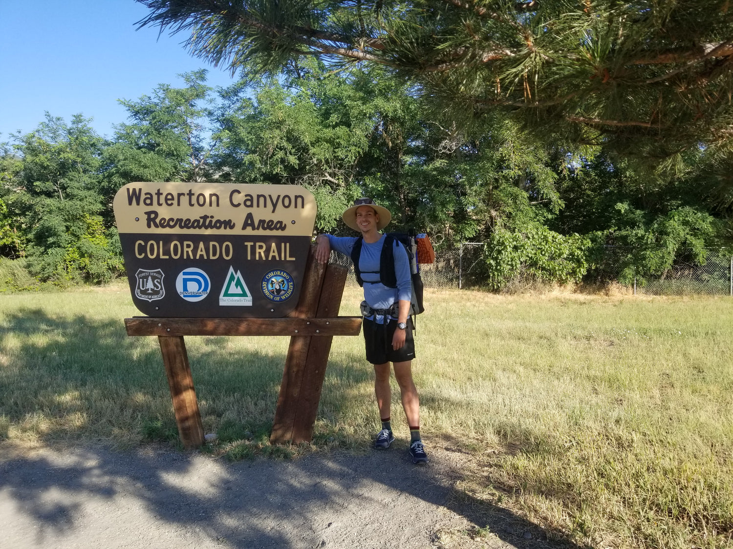
"Karate Kid" at the start of the Colorado Trail Photo by Francisco "Karate Kid" Miller
Ever since I hiked through Colorado on the Continental Divide (CDT), I had wanted to go back. My time on the CDT had been grueling; pushing north every day just to make sure I didn’t miss the finish line on the Canadian border because of snow. After struggling over 900 miles of rough terrain I had felt defeated by this beautiful state. The Colorado Trail was my chance at some Colorado redemption!

Though I had already hiked a large section of the CT during the CDT, there was still a good chunk of new trail to hike and a few optional routes to see even more new areas. Besides, just the chance to be in the Rockies for a little vacation was reason enough to go back; and getting to see the San Juans, the Weminuche, and other highlights along the way were definitely worth it. Plus a little bit of nostalgia along the way would be great!

The original plan was to take it easy and slow and to really enjoy the mountains and towns along the trail. I ended up getting a bit of a later start than expected and my girlfriend offered to pick me up and drive me back home from Durango (if I finished in 3-4 weeks!!!) I had already been planning on hiking 20-25 miles a day, but closing that 4 week window closer to 3 weeks meant pushing those daily miles up to 25-30 with limited time off in towns.
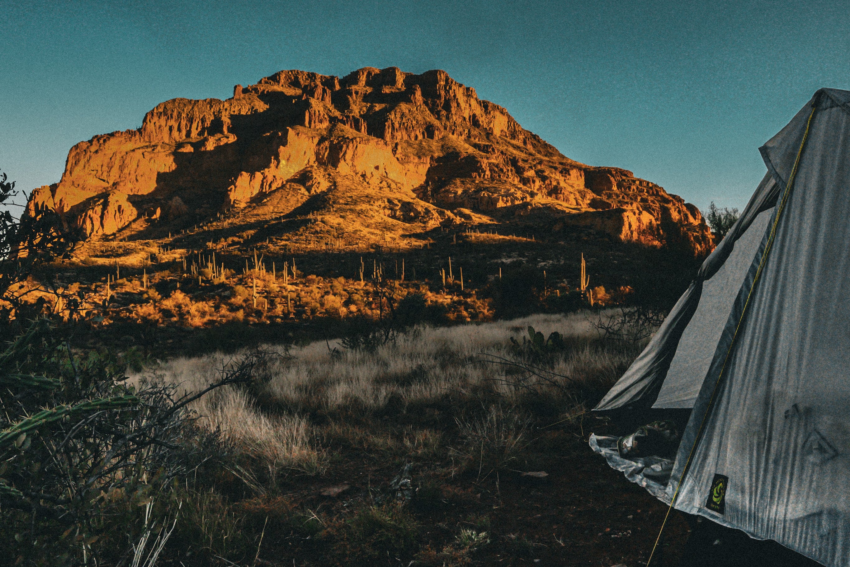
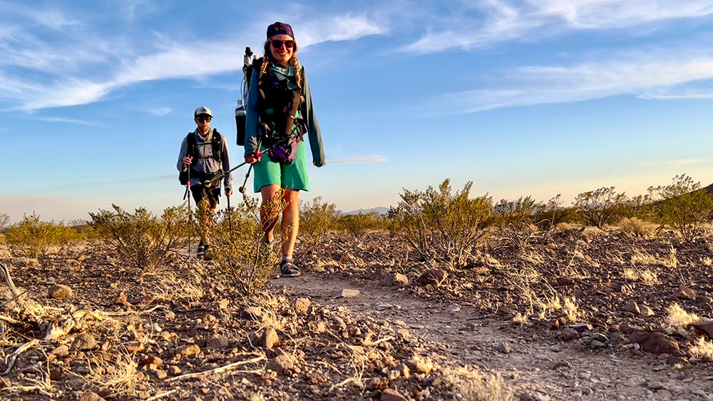
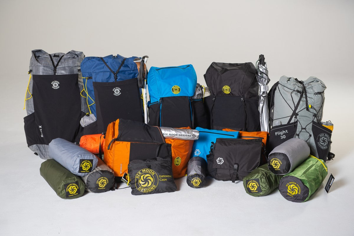
I knew I had the right gear to hike far and fast, choosing to take the SMD Minimalist backpack and Lunar Solo. The first stretch of trail was from the trailhead at Waterton Canyon outside of Denver to Breckenridge. These 104 miles were challenging, having hot weather and relatively poor water sources along the way but I managed to surprise myself by hiking 27 miles the first day! Feeling charged up and excited to be back on trail I hiked 32 miles each of the next 2 days and a short 13-mile day to make it into town. These first days out were beautiful. Hiking through Waterton Canyon and up into the high country on day 1, and seemingly right away getting up to 11,800ft on day 3!

The Minimalist Pack and Lunar Solo in their natural environment Photo by Francisco "Karate Kid" Miller
After a quick 24 hr rest in Silverton/ Breckenridge and resupply, I set back out to start day 5 and the next stretch of hiking. This stretch would take me to Twin Lakes and another resupply about 75 miles away. On day 6 I hiked through Copper Mountain Resort and started a big climb up and over 12,000ft of elevation and still managed to pull off a 29-mile day! After a 25 mile day and some trail magic near the Mt. Elbert trailhead, I had a short 10-mile hike to get to Twin Lakes and eat some delicious hot food!

Leaving Breckenridge, CO and heading into the mountains Photo by Francisco "Karate Kid" Miller
Even though I had only been on trail for a week, it felt like I was home. I was already ⅓ of the way done and I knew if I kept up my pace, a 3-week finish would be totally doable! I had started to get into my rhythm and a lot of the early aches and pains were gone. I was in trail mode!! I rested for the morning and part of the afternoon in Lake City and met up with an old friend to start the next section into the Collegiate Peaks. Having hiked the Collegiate West on the CDT, I decided to try out some new trail and hiked the Collegiate East. (Plus I was looking forward to getting to eat some snacks at the Princeton Hot Springs along the way!) This section was also 75 miles and on day 11 I reached the town of Salida and past the halfway point of the trail.

Resupply and resting up at the Twin Lakes store Photo by Francisco "Karate Kid" Miller
My next stop was going to be Lake City, about 75 miles from Salida and the last resupply before Durango. I couldn’t believe I had made it this far so fast, but I wasn’t trying to get ahead of myself. I knew some of the most beautiful sections of the trail were coming up, and I knew they would be tough, as the average elevation kept going up and up. After leaving Salida, I climbed and camped up around 12,000ft, before traversing the ridge and making it to the Cochetopa Hills outside of Gunnison. I hadn’t expected much, remembering it as open pasture land when I hiked through on the CDT. As I made my way along the trail and crested the hill before walking into the Cochetopa, I couldn’t believe my eyes! Every square inch of the Cochetopa country was covered in blooming yellow flowers. It was the most inspiring section of trail yet. The next day I left the blooming yellow fields and climbed and climbed, 17 miles of uphill that morning making it up to La Garita Wilderness and back over 12,000ft.

La Garita Wilderness and fields of blooming flowers Photo by Francisco Miller
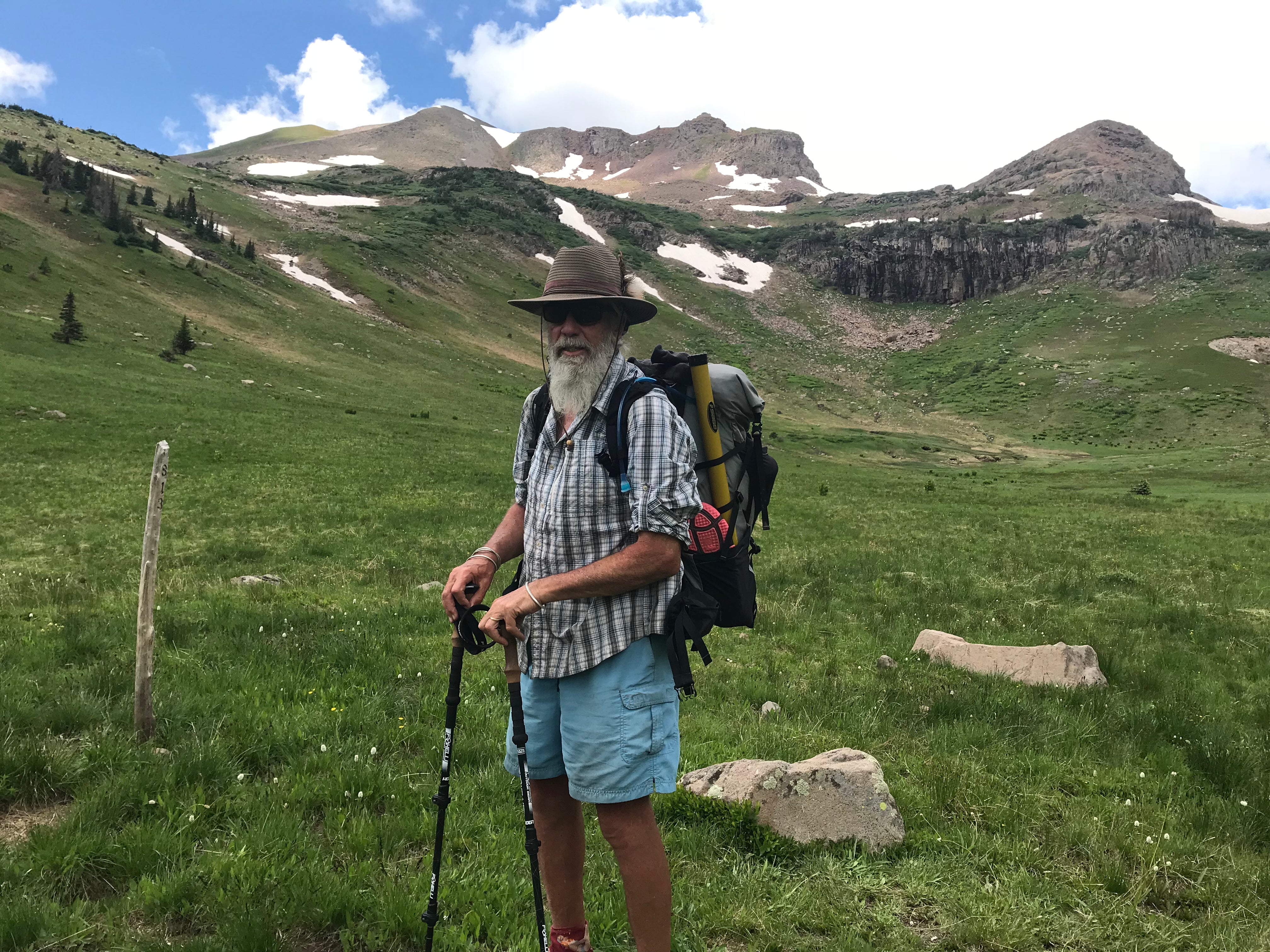
A short hike through the Snow Mesa into Lake City, one of my favorite little towns in Colorado and I was off again heading into the San Juan Mountains and the toughest stretch of trail yet. 130 miles to Durango meant a 5-day food carry through the highest sections of trail yet! San Juan National Forest and the Weminuche Wilderness were a highlight real to the finish line. Beautiful alpine peaks, crisp early mornings and long days of hiking reminded me why I love backpacking. Every day was hard, but the mountains kept surprising me at every turn and every time I saw something amazing, it re-energized me to keep moving to see the next surprise along the trail.

On the way to pass through some stunning alpine terrain Photo by Francisco "Karate Kid" Miller
After 21 days, I finished the 485 miles of the CT on the morning of day 22 with a short 10 mile hike to Durango. Memories of alpine fields blooming and sunrises reflecting on mountain lakes reeled through my mind as I cruised to the finish line and the end of another adventure. How lucky we are to have beautiful country and groomed trails at our disposal to get outside and experience the majesty of the mountains. Until, the next adventure, keep on hiking and I’ll see you on trail!!

Ridge walking in the high country is one of the many reasons people hike the Colorado Trail Photo by Francisco "Karate Kid" Miller


Leave a comment
This site is protected by hCaptcha and the hCaptcha Privacy Policy and Terms of Service apply.