


Here are the Four Peaks, located outside of Phoenix. Yes, that is snow on those peaks! Taken on February 23rd
When you think of Arizona you probably picture a barren landscape, with some cacti poking up out of the hard, cracked ground. For awhile, that’s all I thought Arizona had to offer. I was born in Arizona, but moved to Maine by the time I was starting middle school. So going from coastal Maine (close to the border of Canada) to central Arizona shocked me. When I walked out of the airport in Phoenix, I was greeted by the dry, 90-degree weather. I wanted to walk right back to the plane and go back to Maine. I was reassured it was an unusually warm day for that time of year, and that the temperatures would return back to the 70’s in a few days… which still didn’t ease my mind. It was late January at the time, so when I had left Maine, it was in the 30’s, and there was still snow on the ground. As time went on, Arizona proved me wrong in the best of ways.
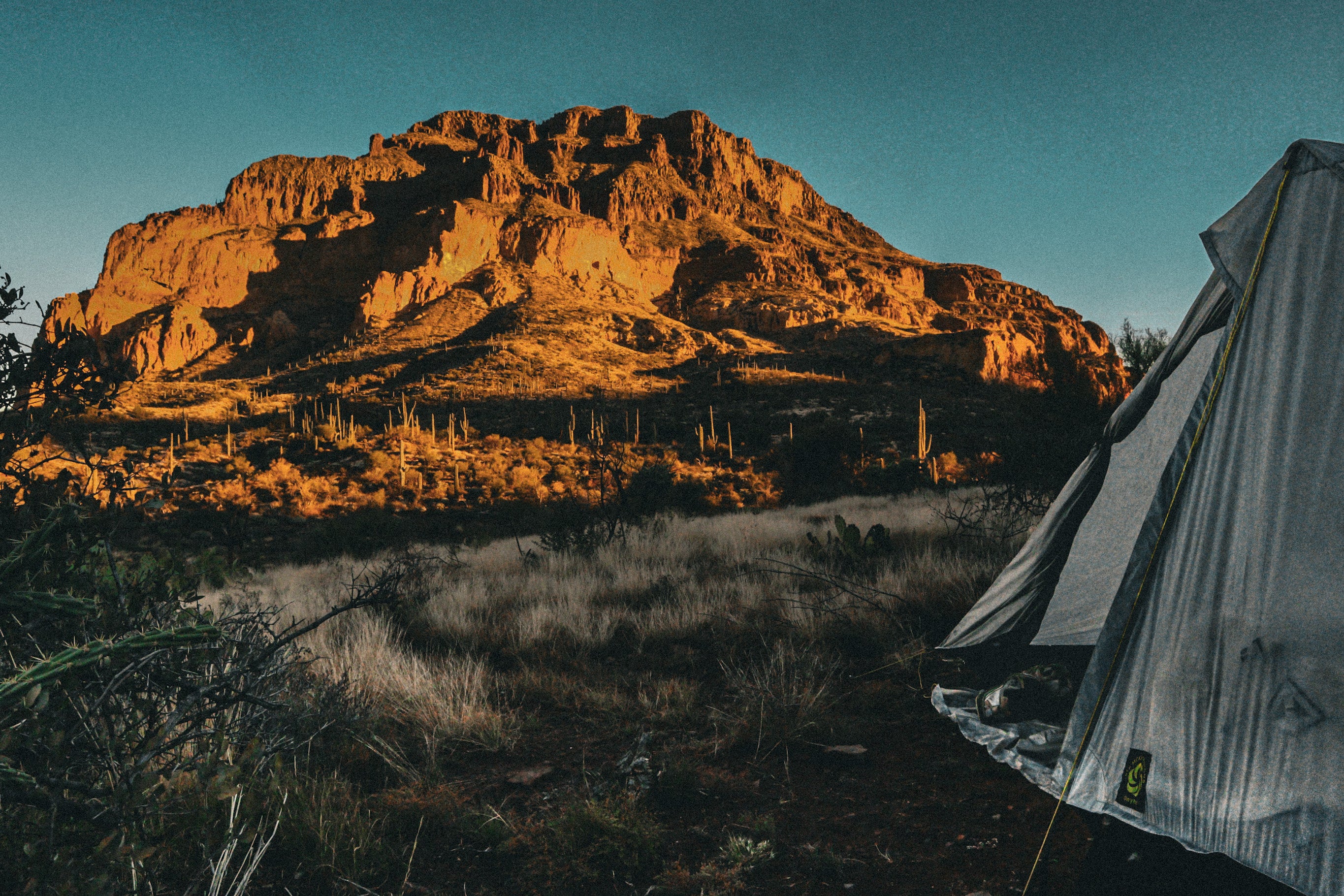
Battleship Mountain, Superstition Wilderness Area


The first picture is a glimpse of some of the scrambling you have to do, and the second is looking toward the rock formation, Battleship.
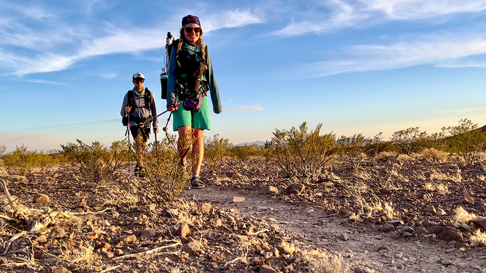
My exploration of Arizona started in the Superstition Mountains, which are located right outside of a town called Apache Junction. The designated wildnerness is just 15-minute drive east of the heavily populated Phoenix. This can make some of the trails super crowded, but over time, I found some of the most isolated spots I have ever been to. My favorite hike so far has been to a formation called Battleship, which is a giant rock formation that juts out proudly in the heart of the wilderness area, that lives up to its name. It looks like the front of a ship, heading into battle on the sea. The hike is about a twelve-mile loop, which requires class three and four scrambling to get to the top of Battleship. You cross a creek a few times, but when I went it was dry. The scrambling part takes up maybe a few miles of the whole loop. This made the hike feel a bit more exciting. Once you get to the top, you have a 360-degree view of the surrounding area. Cacti cover the hills, with large, colorful cliffs hanging overhead. You also get a nice view of Canyon Lake.
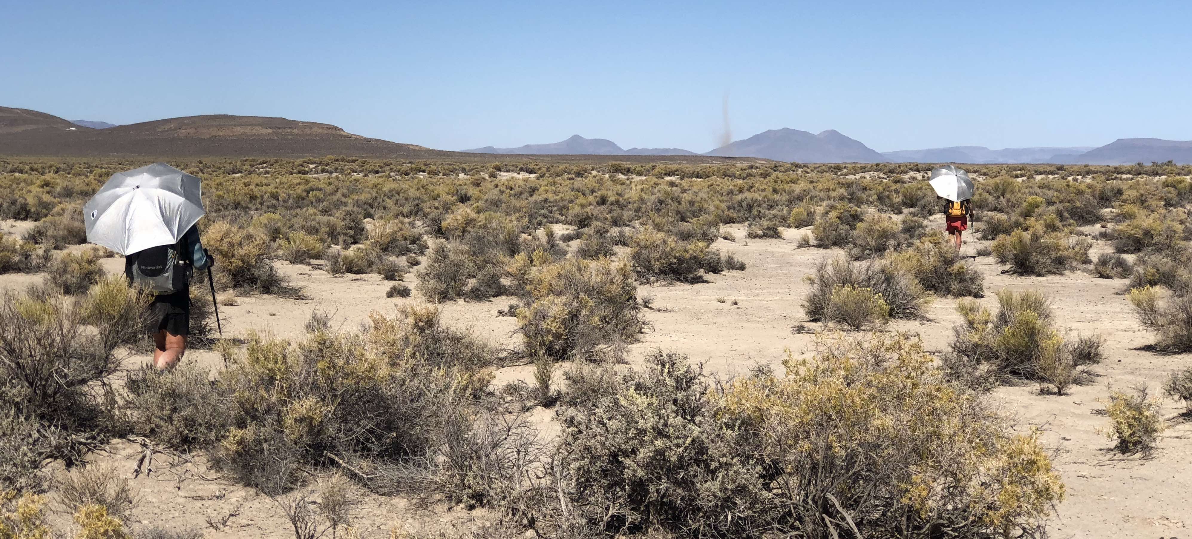
Barnhardt Trail, to the Mazatzal Divide, Mazatzal Wilderness Area

Overlooking the Mazatzal Wilderness
The Mazatzal Wilderness is east of a town called Payson. It is a part of the Tonto, and Coconino National Forests. My first time backpacking through this area, I went on Barnhardt Trail, and then connected to the Arizona Trail. I went in March, which was a particularly wet and cold winter in Arizona. This meant while you were hiking through cacti on most trails, you could look up and see the snow-capped mountains ahead of you. This was the case for this backpacking trip! We hiked for a few miles amongst cacti and low growing shrub, and we were all stripping off layers of clothing within the first mile.
Along the way, we passed two strong flowing waterfalls, which were caused by the snowmelt. When we finally stopped at our camp for the night, everyone was hot and down to being in their tank tops and shorts. But, the next morning we were all back in our down jackets! Our camp was settled underneath a variety of trees, including ponderosas, small oaks, and juniper.

One of the larger seasonal waterfalls that we stopped at to cool off!

The largest waterfall of the day!

My Fusion 50 pack served me well for this weekend trip. It had all of the room I needed for a short trip, and I could pack down the rest of the room well.
Leave a comment
This site is protected by hCaptcha and the hCaptcha Privacy Policy and Terms of Service apply.