

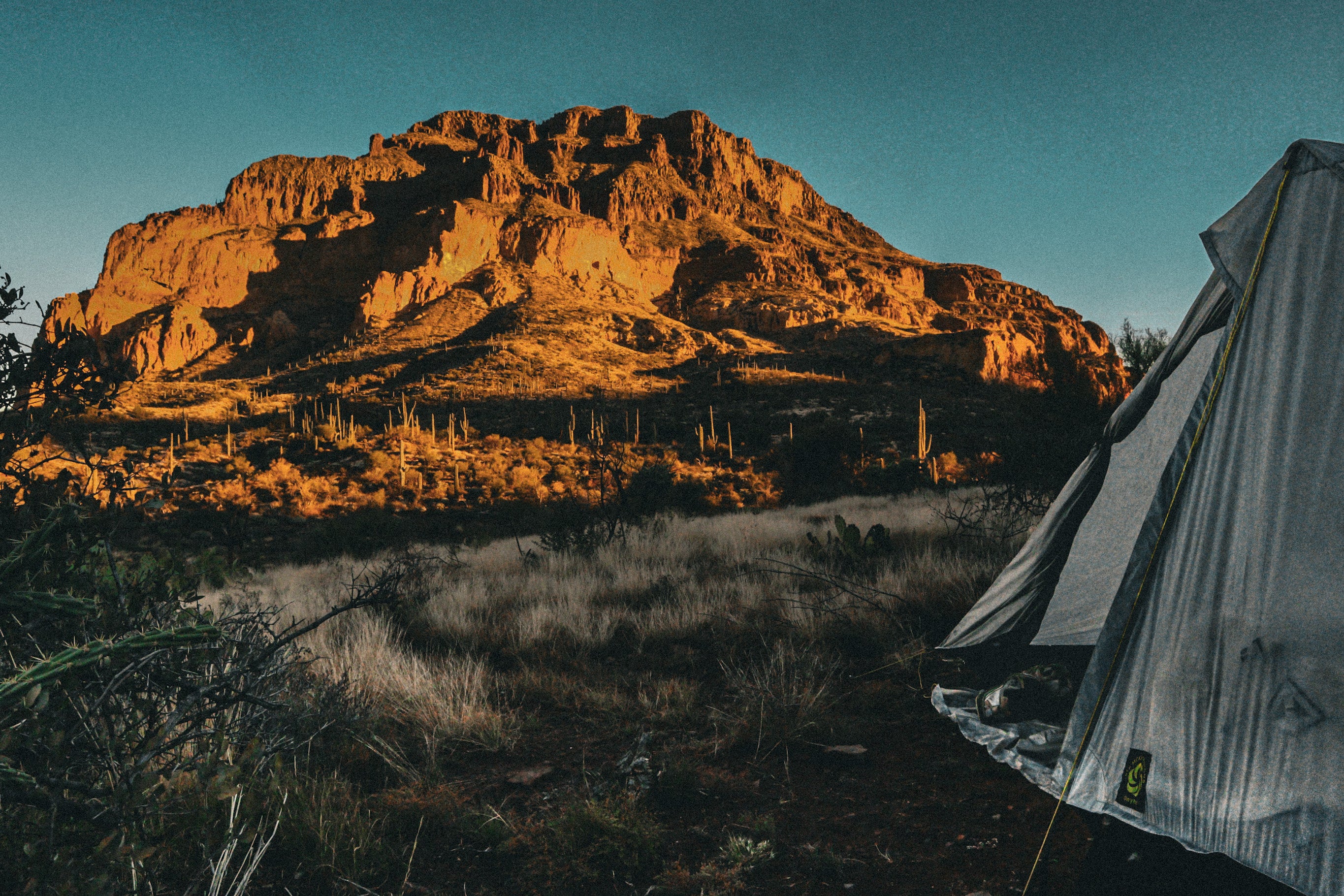
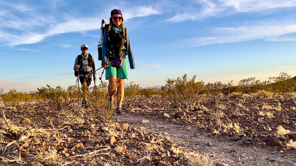
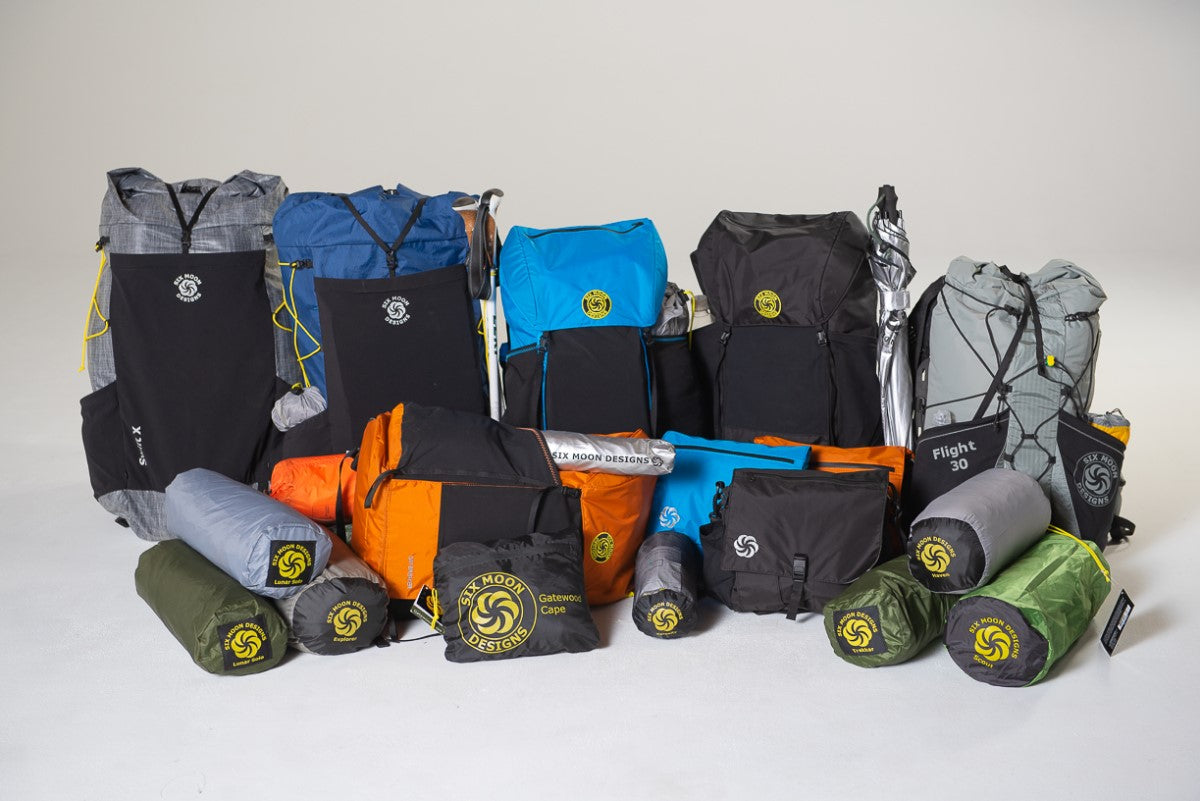
Stretching 72 miles across the heart of the Sierra Nevada, the High Sierra Trail is more than just a thru-hike, it’s a journey through some of California’s most breathtaking backcountry. Starting in the sequoia-lined meadows of Sequoia National Park, the trail climbs over the rugged Great Western Divide, drops into the remote Kern River Canyon, and finishes with a summit of Mount Whitney, the tallest peak in the Lower 48. This was my first thru hike, and it left a lasting mark. From alpine lakes to granite spires, this route offers a true rite of passage into the High Sierra wilderness.
Day 1: The Beginning – Crescent Meadow to Bearpaw Meadow (11.5 miles)
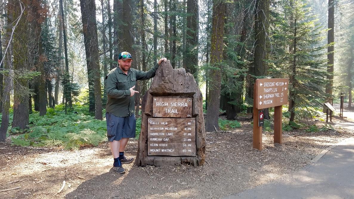
The trail begins at Crescent Meadow, a lush, peaceful clearing surrounded by giant sequoias. As you hike eastward, the landscape slowly transitions from dense forest to granite-walled canyon views. The trail contours along the cliffside above the Middle Fork of the Kaweah River, offering occasional glimpses of waterfalls and distant ridgelines. While elevation gain is steady, it’s manageable and provides a great warmup for the week ahead. You pass through Panther Creek and cross scenic wooden bridges before reaching Bearpaw Meadow. Perched at 7,800 feet, the meadow offers your first big views of the Great Western Divide—and a sense that you're truly headed into the backcountry. It's a perfect mix of anticipation and beauty to start the journey.
Day 2: Entering the High Country – Bearpaw Meadow to Hamilton Lake (7.5 miles)

Leaving Bearpaw, the trail climbs steadily and becomes increasingly rugged. You’ll pass through old-growth forest, cross several cascading creeks, and hug narrow ledges carved into the granite. The landscape becomes steeper and more dramatic with every step. One of the most exhilarating moments comes when you cross a steel bridge above Lone Pine Creek, where the roaring waterfall plunges into the canyon below. Just beyond lies Hamilton Lake, a pristine alpine basin backed by towering granite walls and waterfalls. It’s arguably one of the most photogenic spots on the trail. Camping here feels like you’ve stepped into a postcard. Take time to relax, watch the light change on the cliffs, and prepare for tomorrow’s challenging ascent over the Great Western Divide.
Day 3: Crossing the Great Western Divide – Hamilton Lake to Big Arroyo (8.2 miles)
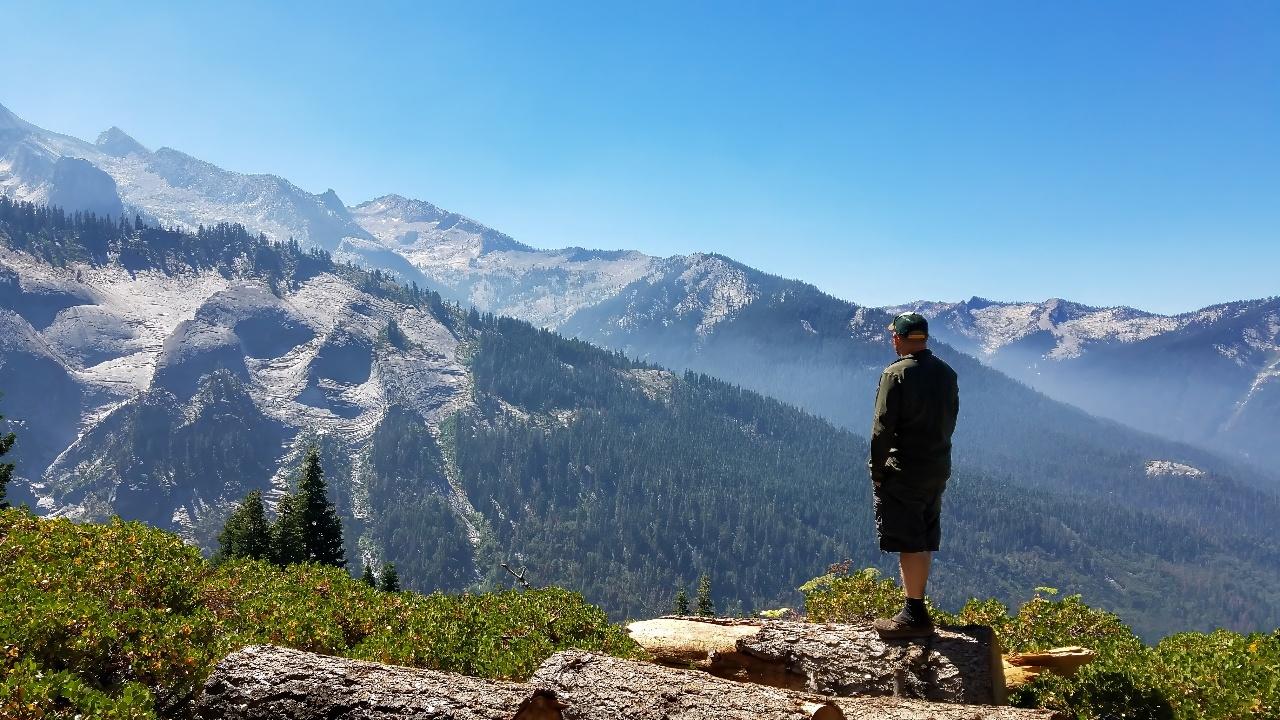
This day is as rewarding as it is demanding. The trail immediately climbs toward Precipice Lake, a stark and surreal alpine tarn set against jagged black cliffs. It's no wonder Ansel Adams was drawn to this spot. From there, a series of switchbacks brings you up and over 10,700-foot Kaweah Gap—the first major pass of the journey. The views from the top stretch for miles in every direction, with alpine valleys and jagged peaks unfolding below. On the descent into Big Arroyo, the trail enters a quieter, forested basin filled with foxtail pines and smooth granite slabs. The shift from alpine exposure to forested seclusion is dramatic. Camp here is peaceful and sheltered, a good place to reflect on the crossing and rest up for the long Kern descent ahead.
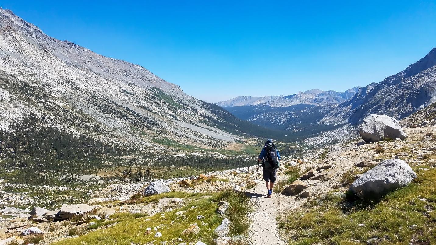
Day 4: Entering the Kern Canyon – Big Arroyo to Upper Funston Meadow (12.6 miles)
Today’s hike begins in the quiet upper basin of Big Arroyo, where the trail gently rolls before beginning a steady descent into the Kern River Canyon. You’ll lose over 2,000 feet of elevation, and the temperature rises noticeably as you drop. The switchbacks are long but gradual, eventually delivering you to a completely different world—one defined by the deep roar of the Kern River and towering granite cliffs on either side. This canyon is remote and wild, with very few signs of human presence. Upper Funston Meadow sits beside the river and offers shady campsites beneath tall pines. The current provides a cooling soundtrack for the night, and it's a welcome reprieve from the heat. This is the most isolated section of the trail—and one of the most rewarding.
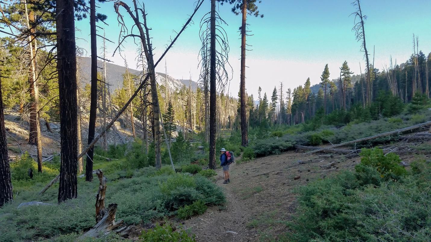
Day 5: The Climb to the High Sierra – Upper Funston Meadow to Tyndall Junction Camp (11.5 miles)
The day starts gently as you continue along the Kern River, following the valley floor for a few miles. Soon after, you cross the river and begin a long, steady climb out of the canyon. The gain is relentless but never too steep, and as you ascend, the landscape transitions once again trading canyon walls for open meadows, alpine creeks, and distant ridgelines. You’ll pass junctions for the High Sierra and PCT/JMT routes, eventually merging with them near Wallace Creek. This stretch of trail feels like a rite of passage, as you officially enter the high alpine zone. Tyndall Junction offers expansive views, high-elevation breezes, and some of the most epic stargazing you'll find anywhere in the Sierra. This camp sets the stage for the Whitney push ahead.
Day 6: The Approach to Whitney – Tyndall Junction Camp to Guitar Lake (7.8 miles)
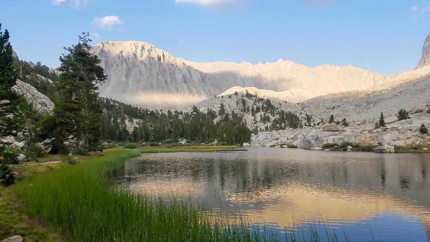
Although not the longest day, today’s miles are packed with elevation and scenery. From Tyndall Junction, you make your way up to Bighorn Plateau, a vast, windswept highland with panoramic views stretching in every direction. It’s one of the most iconic and surreal stretches of the trail. From here, the trail descends slightly before gently climbing again toward Crabtree Meadow and the Whitney Trail junction. You’ll pass Timberline Lake and eventually arrive at Guitar Lake, the final alpine basin before the summit. Named for its distinctive shape, the lake is cradled beneath Mt. Whitney’s jagged western face. The campsite is exposed and rocky but spectacular. The air is thin, the stars feel close, and there’s a palpable sense of anticipation in camp as everyone prepares for summit day.
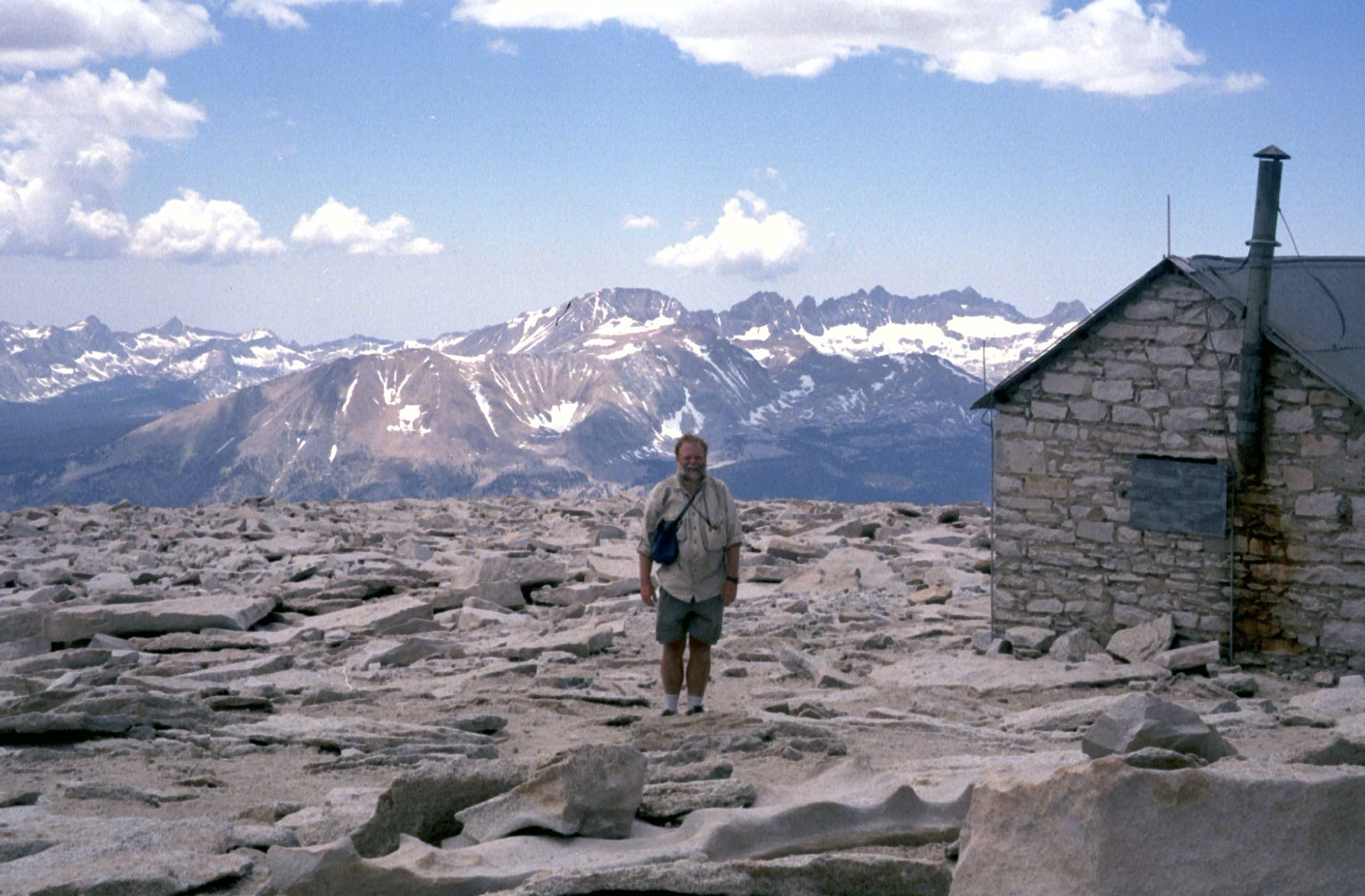
Day 7: The Ascent of Mount Whitney – Guitar Lake to Whitney Summit to Outpost Camp (14.5 miles)
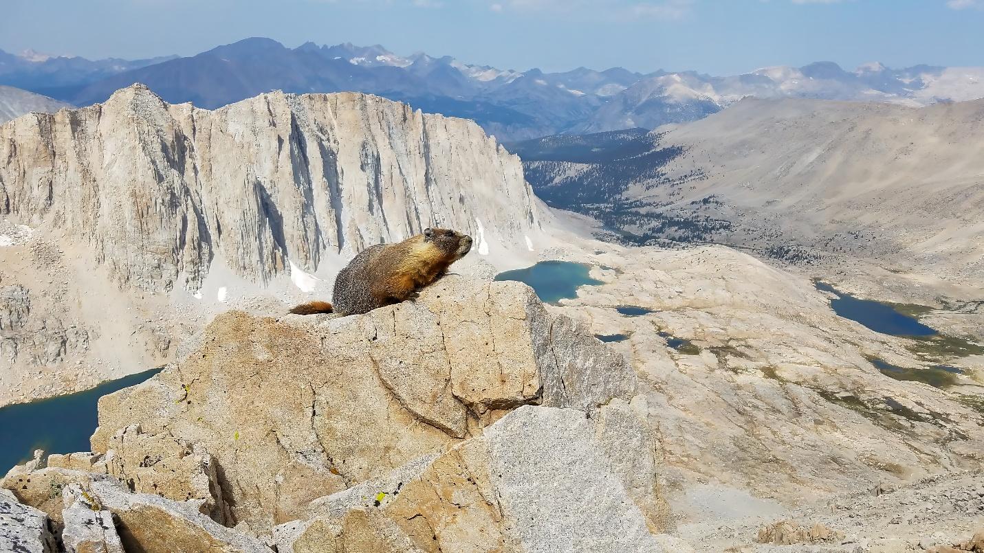
This is the crown jewel of the High Sierra Trail. Start in the dark, usually around 3:00 or 4:00 AM and begin the long, slow ascent by headlamp. The trail climbs steeply in the cold, thin air as you approach Trail Crest and the final 1.9-mile traverse to the summit. Every step is harder at over 13,000 feet, but the sight of the sun rising above the Inyo Mountains is unforgettable. Reaching the summit of Mt. Whitney at 14,505 feet is an emotional high pride, exhaustion, and awe all rolled into one. After soaking it in, you begin a steep descent down the east side via the Whitney Trail. Switchbacks seem endless as you drop toward Outpost Camp, your final overnight. It’s been a long day, but one you’ll never forget.
Day 8: The Descent – Outpost Camp to Whitney Portal (4.8 miles)
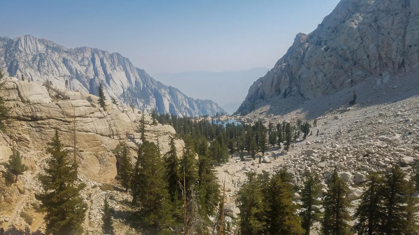
Though this is your shortest day, it’s still a tough descent, over 2,000 feet of elevation loss on tired legs. The trail winds down through granite cliffs, pine forest, and past Lone Pine Lake, where many pause for one last view and photo op. The crowds begin to grow as you get closer to Whitney Portal, and there’s a strange transition from high-country solitude to the reality of civilization. At the trailhead, the reward isn’t just the Whitney Portal Store burgers, it’s the sense of completion. You’ve crossed the Sierra on foot, from giant sequoias to the summit of the tallest peak in the Lower 48. It's a journey that pushes you, humbles you, and stays with you forever.
Leave a comment
This site is protected by hCaptcha and the hCaptcha Privacy Policy and Terms of Service apply.