
Recently a friend asked if I would be interested in a cheap flight to Chattanooga TN from NYC for a long weekend backpacking trip. Having never visited that part of the country before, I promptly said yes and not long after we found ourselves driving a rental car on the Tail of the Dragon, a popular motorcycle route on US 129 near the Tennessee / North Carolina border en route to the Twenty Mile trailhead taking us into the Great Smoky Mountains National Park.
I’m quite fond of saying yes with little hesitation to just about any trip that piques my interests when asked, so naturally I knew almost nothing about the conditions or terrain we’d be experiencing on our 3 night, 4 day hike, but I was excited to test some of my SMD gear on a longer excursion, namely the Minimalist pack and Deschutes ZG tarp. On paper our intended route seemed pretty straight forward: averaging around 10 miles a day on steep terrain, hopping on and off the Appalachian Trail for parts of our hike. We had seen some hints of a storm on the horizon later in the weekend but chose to ignore those thoughts as we set out in the early afternoon.

Our first day was short on miles but big on elevation gain - over 3500 feet in less than 6 miles. Steamy conditions and some poor footwear choices led to me developing a small heel blister from an old sock wearing out halfway to our campsite which thankfully we treated swiftly with a heavy application of leukotape (which is now a must have in my ditty bag after this). We set up camp near a clearing close to Gregory’s Bald just off the AT and enjoyed our only dry evening of the trip. We did wake up first to a large group of wild boar making their way through our camp, and later in the evening it began to rain - unbeknownst to us, the rain would be with us for the next two days.
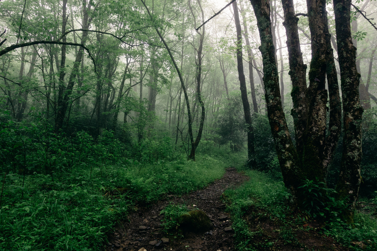
Finding motivation to leave a warm tent and sleeping bag to immediately get wet hiking in the morning is always a struggle, and this first morning on the trail was no different as we awoke to a deluge that turned our flat clearing into a veritable swamp. I was pleased to be able to have my tarp and groundsheet set up for protection of most of my gear while packing in the rain, but eventually we hit the trail with already soaking wet clothing and feet prepared for more of the same all day. This was supposed to have been our longest day on trail, 15 miles mostly following the Appalachian Trail to a campsite above the Eagle Creek Trail - which was our destination for day 3. We spent the majority of the day slipping and sliding up and down completely flooded trails, relying heavily on our trekking poles for traction and support. Beautifully lush rain forest foliage and sopping wet conditions reminded me a lot of parts of Oregon. We did pass a few SOBO groups before we made it up to the first shelter at Mollie’s Ridge. There we met a local “ridge runner”, a trail warden to that section of the AT who we confided in our route with. Per his recommendation, our ambitious plan to hike down Eagle Creek with its 20+ water crossings after days of heavy rain was deemed too dangerous and risky. We stuck our heads back out into the rain and continued onwards to Russel Field Shelter where we decided to hole up for the evening and dry out our gear after only completing a little over 9 miles. Shortly after hanging gear over every available inch of the shelter, we were joined by a large group of AT thru hikers for the remainder of the evening, a unexpectedly strange albeit mildly refreshing encounter that yielded plenty of raised eyebrows, lots of stories and some shared laughs.

After a wondrous dry night of sleep in the shelter, we rolled out at a leisurely late time in the morning headed back down the section of the AT we had just hiked the previous day, with our sights set on the Shuckstack Fire Tower and a nearby campsite. It was nice to see the trail in different slightly less damp conditions, and we made good time to our camp at Birch Spring. We quickly set up our tents and hiked another mile out on the AT to check out the fire tower before an impending evening rain shower. It was completely socked in with fog and clouds at the top of the tower, and we shivered for awhile before deciding to head back down. I was already on the ground again when my friend Ben shouted to us from halfway down the steps that the clouds were breaking, and we rushed back up the tower to an incredible display of the sun peeking through the fast moving clouds at sunset. Miles of mountain ridges as far as the eye could see suddenly came into view, and the panoramas were breathtaking. We made it back to our campsite just as the darkness and another rainstorm surrounded us for the evening.
Faced with a couple of options to make our exit of the park more interesting, we broke camp early the next morning and headed down the lesser used Lost Cove Trail, a long steep descent off the AT for some added miles and variety. We ended up biting off a little more than we could chew with multiple creek crossings that got longer and deeper as we kept descending the ridge, but everything was safe and passable once we got used to our feet being wet yet again. We made it all the way down to the bottom of Eagle Creek, which was our intended day 3 destination, to find it moving fast and the banks swollen from the days of rain - the ridge runner and rangers had been right to warn us not to attempt the trail from the other direction we had originally intended. Hiking all the way back out the Lost Cove trail was quite the undertaking, as it was surely some of the steepest terrain we encountered over the weekend. I had made it a little ways ahead of my hiking partners and came upon a bear as I was huffing and puffing up a particular steep and largely unmaintained bit of the trail. Some shouting and waving succeeded in scaring the bear away up the ridge and we successfully continued back up and out our exit trailhead with no issues. In total our last day in the park would be our longest with all of our side trips and diversions (including another trip up the fire tower, this time with clearer skies and sun!), totaling almost 15 miles.


Lots of unknowns and lots of flexibility ended up yielding an excellent adventure in GSMNP. Cheers and happy trails to all the thru hikers we encountered - apparently the part of the Smokies we were in is some of the first really tough and steep terrain they encounter on the trail, and tough and steep it was indeed.



Leave a comment
This site is protected by hCaptcha and the hCaptcha Privacy Policy and Terms of Service apply.