

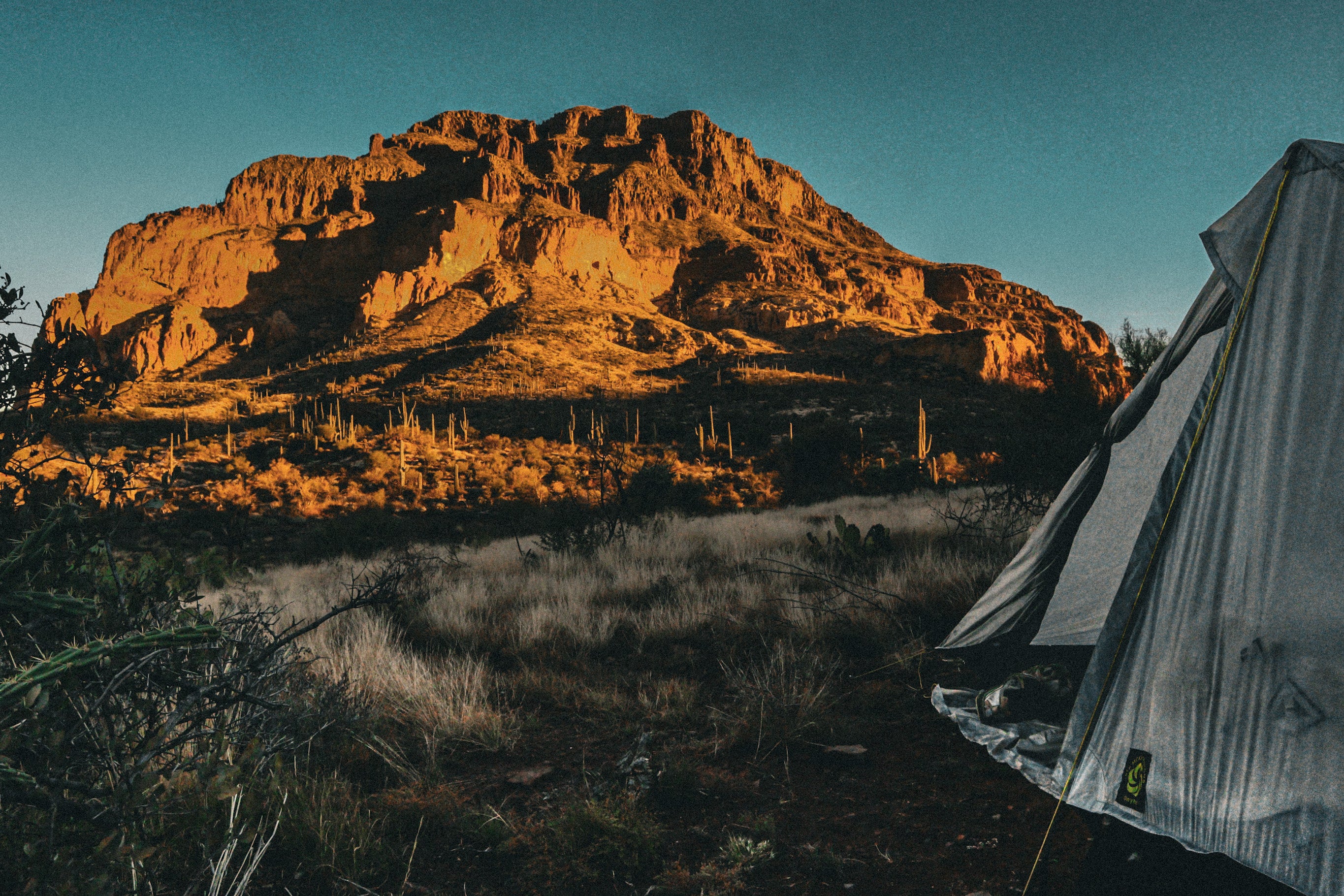

Take a long walk with me‚—let’s start in late March with a spattering of snowflakes descending upon the town square of Santa Fe, New Mexico. Let’s walk south over the Sandia Mountains, then the Manzano Mountains. While crossing these mountains, let's posthole for hours, wading through deep snow remnants on northern slopes hiding from the sun’s rays, snow that preserves the history of a harsh winter. As you descend the mountains, your feet are warm and dry as you descend to the desert that occupies your expansive view. You turn gently to the west, reaching Socorro, and fill your belly with famous New Mexico green chilies. The food gives you a pep in your step and the energy to continue your walk further west. You cross the Continental Divide Trail and converse with hikers walking to Canada, but you choose to continue west to Alpine, Arizona.

Looking back upon your travels on your map, you can see your line of footsteps and that you walked in a very large quarter circle crossing the state of New Mexico. Continue your walk and make three more quarter circles. One for Arizona, one for Utah, and the final quarter circle for Colorado. Four-quarter circles make a whole and you have just finished walking the entire Four Corners Loop.

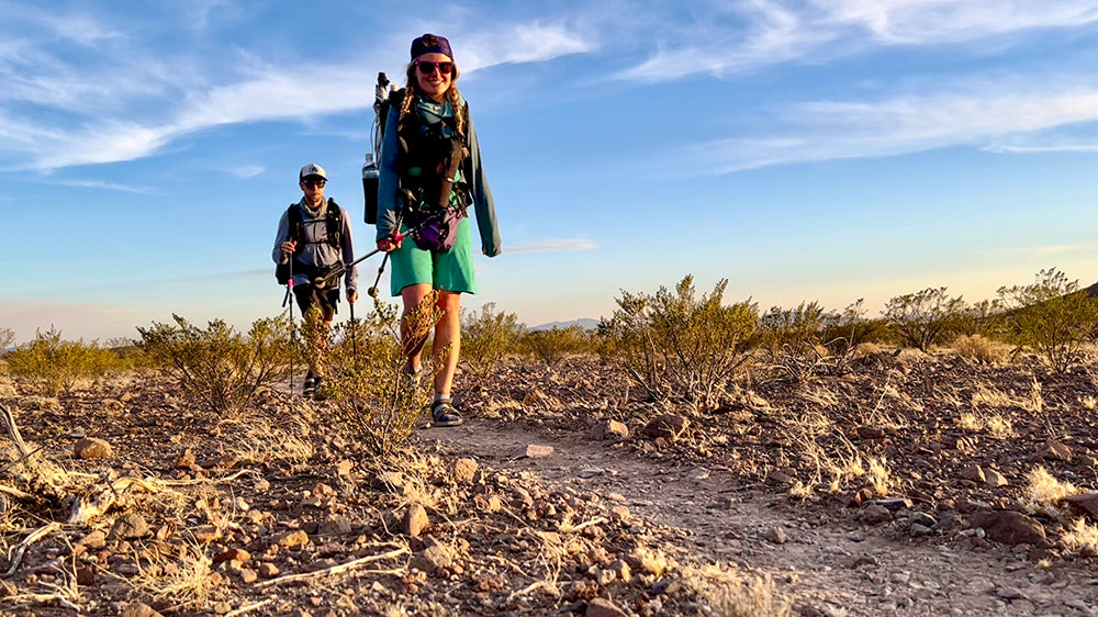
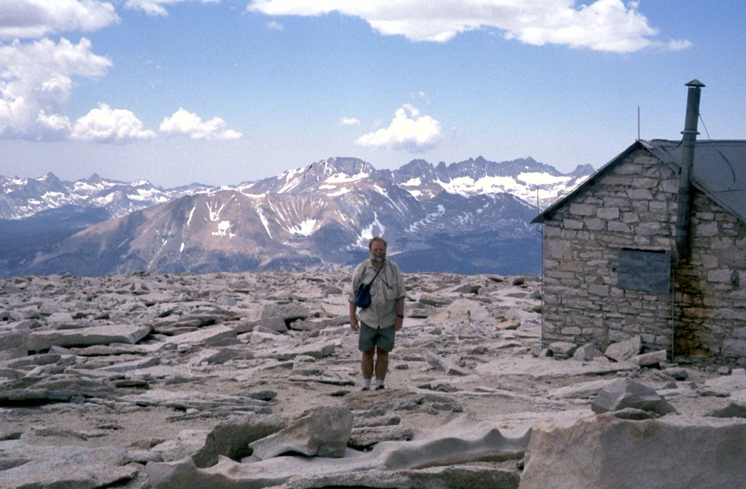
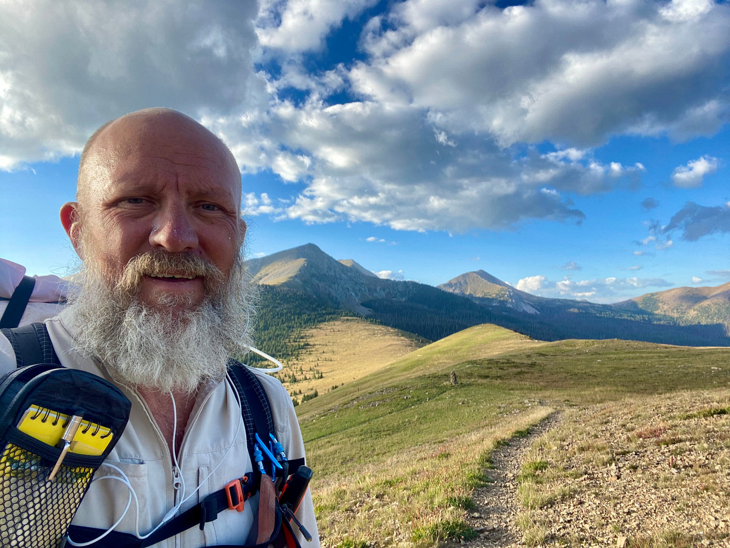
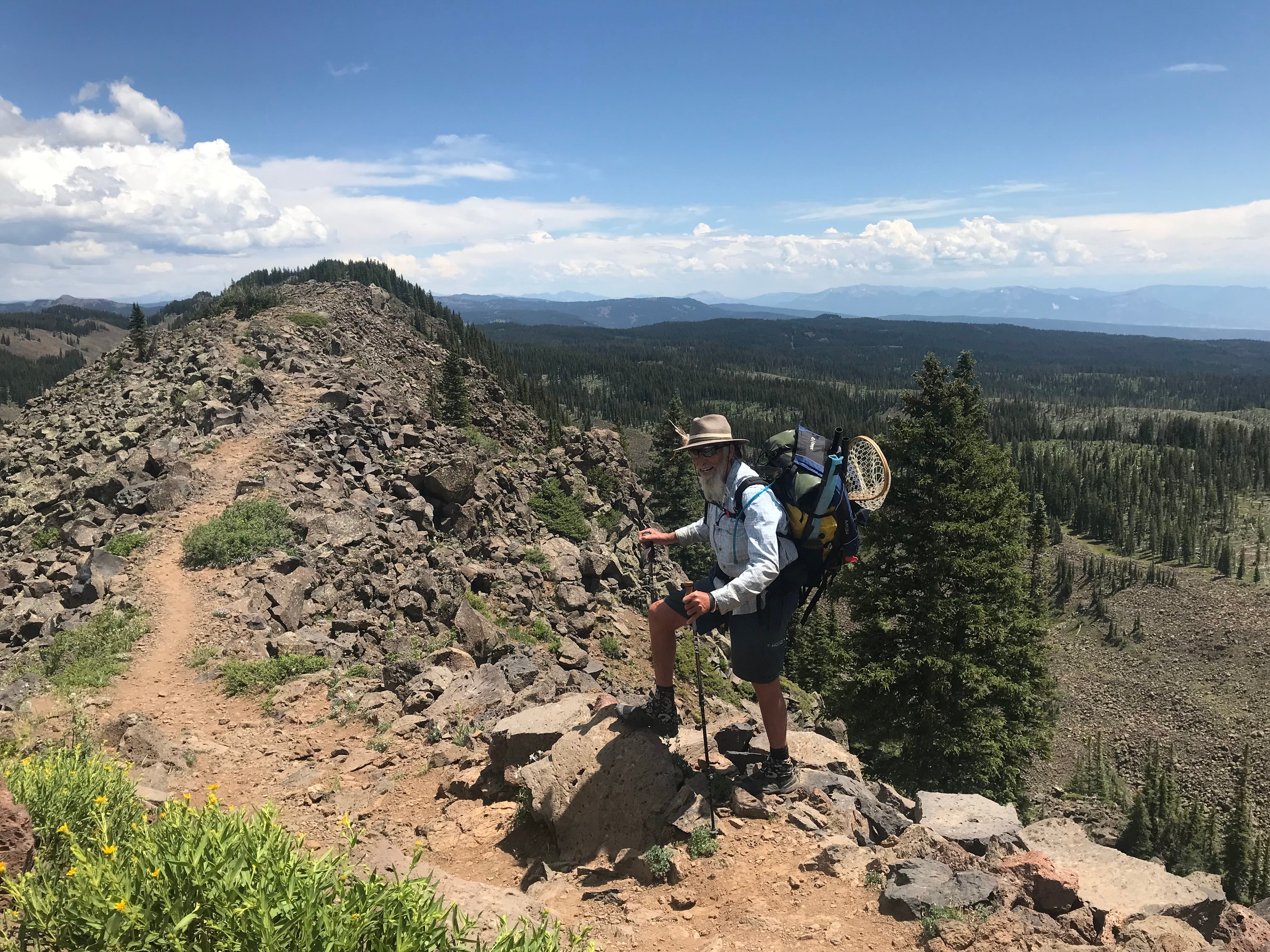
I am The Animal. I hiked the Continental Divide (CDT) trail in 2004 and the Pacific Crest Trail (PCT) in 2014. I developed and walked the Four Corners Loop (FCL) in 2021, a 2,485-mile circular hiking endeavor.
I presented the FCL at the 2023 American Long Distance Hiking Association gathering to world-class, top-notch, amazing hikers just like you and Whitney LaRuffa from Six Moon Designs, took interest in the FCL, and knew this new route would be of interest to you.

The idea for this hiking route was born when I drew my CDT and PCT routes on an elevation profile map from USGS titled Geographic Face of the Nation. I saw a circle of mountains and visually connected the ridges to form a loop that embraced the central Four Corners area. I would eventually find that the ridges are an amalgamation of amazing world-class views, flora new to my eyes, and fauna bounding throughout the wilderness of New Mexico, Arizona, Utah, and Colorado.

After seeing the circle of mountains in 2017, I could not erase the pattern it inscribed in my mind. Could this be a hiking concept? Has this been hiked in its entirety? Was it possible to link up existing trails and jeep roads while adding in some necessary cross-country foot travel to create a walking route?

This route needed to be made, hiked, and enjoyed. I quickly decided I would hike my vision because a person with the trail name of “The Animal” needs to set down an animal path.

It took three years to develop the route using CalTopo. This was a large part of the journey. When I set foot walking clockwise on March 26, 2021, to determine if this was a viable and worthy hike for others to follow, I felt like I was a bobsled driver because I knew the course by memory. I knew every right banking and left banking turn that was required to complete the course. What I did not know was the condition of the “ice” under the sled.

Let’s continue our walk into Arizona. Hike along the Mongolian Rim reaching the Arizona Trail (AZT). Finish off Arizona following the AZT crossing the Grand Canyon. Enter Utah via The Wave and Buckskin Gulch. Proceed north through the Grand Escalante National Monument and stroll along the Skyline Drive as the trail provides its magic. Eventually, head east along the Uinta Mountains.

Let’s cross into Colorado via Dinosaur National Monument then make an arching quarter-circle turn to the south while enjoying all of Colorado’s splendid mountains. After reaching Salida, take a break for some river rafting. Finally, follow the Sangre De Cristo Mountain range back to Santa Fe, completing the circle.

I finished on September 8 and felt like I was riding an endless wave of everlasting bliss. I soaked up the incredible views and embraced the amazing people. At times I felt as if I was in America’s Serengeti with hundreds of elk being chased by Mexican grey wolves.

I embraced every day with gratitude because I was healthy and able to take the time to walk in a large circle. The FLC needs to be shared with the hiking world, such as you. This is a gift created by nature. If you venture out to explore the route I call the Four Corners Loop, please enjoy and tread lightly on the Indigenous land as its memories nurture your soul.

If you decide to follow my footsteps, make the effort to plan your route, because the FCL might morph into something even better than what I walked. You just might learn about local knowledge I was unaware of. If a local suggests visiting another canyon or a more scenic trail, don’t just follow my route blindly because it will only result in a better Four Corners Loop for you!

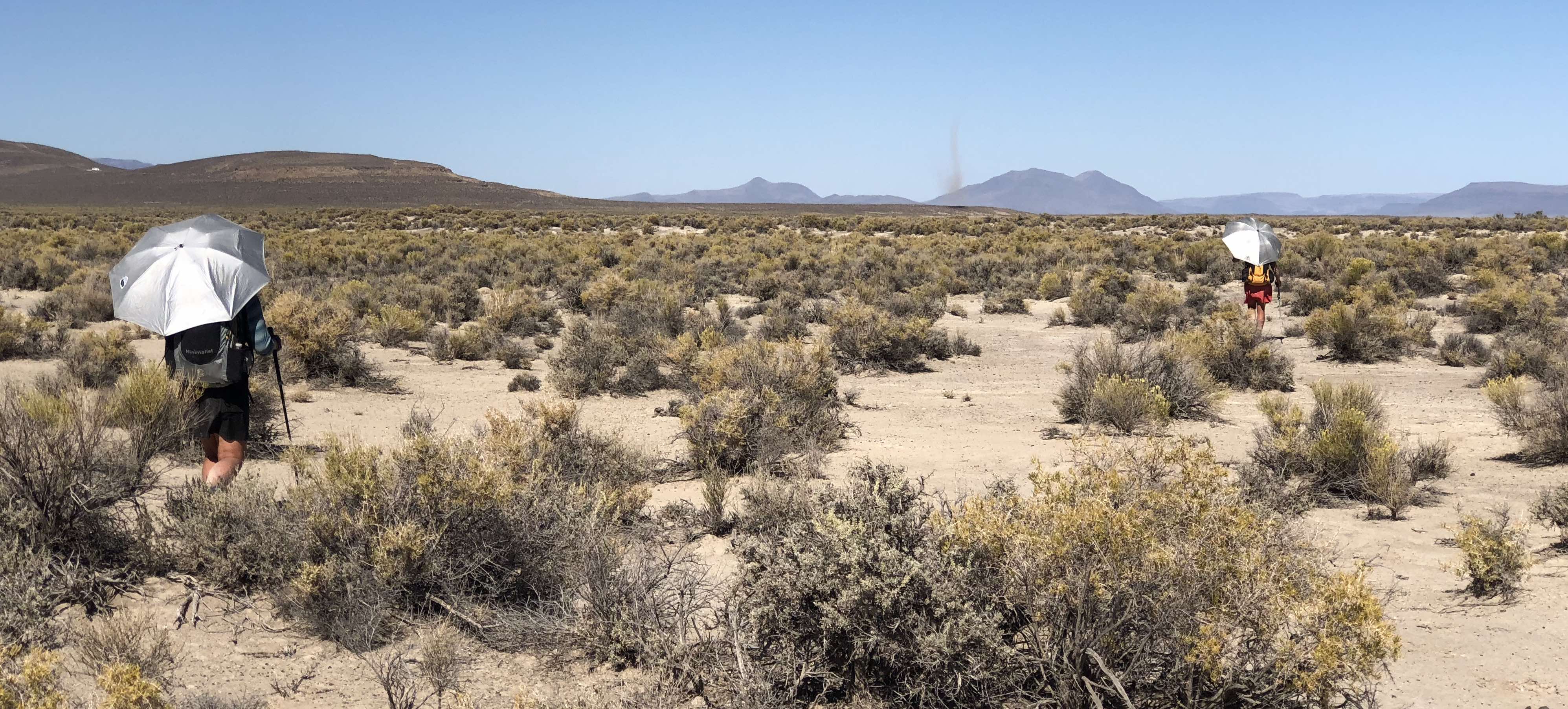
A few disclaimers about this new trail: I would not recommend this to be your first long-distance hike, as it will be more beneficial to learn the ins and outs of thru-hiking first on the PCT, CDT, or Appalachian Trail (which are much more supported). Another challenge is the lack of water, as the route is often dry and I frequently had to carry large amounts of water (up to 14.5 liters for one section!). Finally, there are areas on the route that are not public lands but there are ways around these challenges.

I am currently writing a book on the FCL and I think writing could be harder than walking for six months. Now let’s take a walk along the Four Corners Loop for another lap so you and others can create personal stories to make the world smile.

Visit the Four Corners Loop Trail Association (www.fclta.org). Route information can also be found at CalTopo https://caltopo.com/m/S2C8B

Leave a comment
This site is protected by hCaptcha and the hCaptcha Privacy Policy and Terms of Service apply.