Spontaneous Weekend 5 Pass Loop Saga
By Jade Downing
It’s mid July in Colorado, the perfect time for wildflower trekking. Originally, I was going to do an easy 2 night backpacking trip in Aspen, Colorado with a good friend of mine. We saw a last minute permit pop up for the coveted Capital Lake for Friday and jumped on it. We saw that there is a 23 mile loop we can easily do as a 2 nighter for my friend’s first backpacking trip in two years.
The plan was for me to drive 4 hours to where my friend lives and the two of us driving to trailhead early friday afternoon, hike 6 miles to capitol lake and then divide the rest of the 18 miles up in 2 days. I was all packed on Thursday night and about to head out when my friend called to inform me that she cannot go anymore due to a sudden bush fire nearby. Feeling pretty bummed to miss out on spending the weekend hiking with my friend, I had to unload the car and think of a plan B.
My husband Matt was going to go mountain biking that weekend however after hearing about my friend’s cancellation, he kindly volunteered to take her place. With my regular partner in tow, I decided to go for plan B, a 42 mile loop. The tricky part was that we had to leave Denver after Matt got off work and drive through 4+ hours plus weekend traffic to get to the trailhead. Then hike 6 miles to Capitol lake.
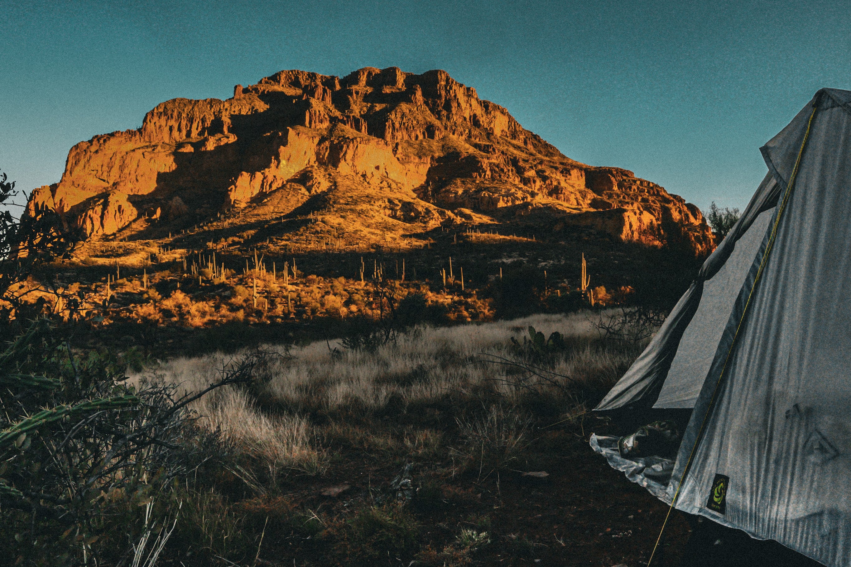
Even though we did our best to get out the door as quickly as possible Friday evening, we still got stuck behind heavy traffic on I70 and only got to the trailhead at the whopping hour of 10pm. Starting in the dark was quite nostalgic to when we were at this same trailhead 10 years ago to do a trailhead to trailhead summit of Capitol peak starting at 2am. Walking through fields of flowers in the dark, we got to enjoy the lovely night time temperature under a beautiful clear sky with stars plus a few flashes of distant lightning that lit up the mountain silhouettes. We got to camp at 1am after 6 miles and 2000 ft elevation gain and quickly set up our Sixmoon Design Haven tent. We got about 40 minutes of shuteye when we were woken up by a bright flash followed by a loud rumble of thunder. The brief 10 minute rain that followed felt like someone was aiming a high pressure hose at our tent yet miraculously not a single drop of moisture got in. I patted myself on the back for doing a great seam sealing job.

Saturday morning, we woke up to a magnificent view of the capitol lake basin right in front of our campsite and enjoyed a leisurely breakfast before heading out. We quickly went over the first pass of the day and went to visit Avalanche lake on the other side.

At the surprisingly popular lake, we encountered a group of 8 soggy guys plus one wet dog laid out across the meadow like fish with equally soggy looking stuff strewn about them. They said they were cowboy camping when the storm came out of nowhere at 2am. All they had was one tarp between all of them… Must have been quite the night!

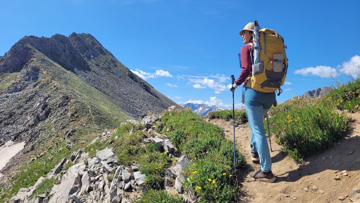
Leaving avalanche lake, we followed a faint path up pass number 2 that led to traversing through an incredibly beautiful basin with tons of wild flowers, flowing creeks and not a single soul in sight.


Several miles later we got up pass number 3 and strolled down a smooth pristine trail down a slopeside of wild flowers into yet another completely vacant yet beautiful basin. On a snack rock by a huge patch of Indian paint brushes, Matt and I looked on our GPS map to start planning where we shall go to camp that night. At the end of the 5 mile descent, we will get to Geneva lake trailhead mileage 14 for the day which is the start of the permitted section, and we won’t be out of the permitted section until mile 21. If we take an easy day and do sub 14 miles we will be camping near 4wd roads with 22 miles to do on Sunday. If we hike the 21 miles today which includes a big ascent over Trailrider pass then we will have to set up camp in the dark again and not get to enjoy the night. Matt noticed a different trail I had traced on my map that went the other way towards a small town called Marble, Plan C. I told him that if we go to Marble, we can camp in Buckskin basin which we have day hiked to several years ago and time it so we get into town on Sunday when our favorite barbeque place opens, eat yummies and then try to hitch a 20 minute ride down the road to redstone where we can hop on to the original Plan A loop for 11 miles back to our car. The tricky part is hitching in the US is incredibly difficult.

Matt picked up a rock from the ground and hid it in one of his hands and said if I pick the one with the rock we go to Marble, if I pick the empty hand we stay on Plan C. The hand held the rock, so we turned right at the fork to descend down the 100th flower meadow then turned right again to gain back 1000ft into Buckskin basin. It was 6pm and clocking 14 miles for the day, we looked around the basin for an entire hour before we spotted a suitable camping spot for the night. Matt and I enjoyed a lovely evening with our camp set up way before dark, we got to have our soups, chai lattes, dinner and a few rounds of Fox in the Forest card game before turning in to sleep. The entire basin was empty except for us! The night was so comfortable that by the time we dragged ourselves out of our tent, the sun was fully upon us. We got our morning routine of instant coffee, breakfast ramen and pooping done by 9am and head up the last few hundred feet towards pass #4.

Half an hour later, we stood on top of the saddle and looked at an unmapped trail to Avalanche pass on the right. If we keep going straight for 5 more miles we will be able to hit Marble around noon like we planned. But instead, we got curious about what's on the other side of Avalanche pass so we got to the top of that and studied our GPX once again. It appeared that the basin on the other side leads back to Dooley park trail which was part of the loop for Plan A.


The topo map and landscape as we looked down suggested the route to be within our capabilities. Always suckers for unknown adventures, Matt and I made the easy choice to head into the unnamed basin for Plan D.

After 3 hours/4 miles of wading through chest deep flower meadows, bashing through willows, a bit of rock hopping and a lot of bush bashing, we finally popped out on to Dooley Park after depleting half of our first aid supplies on our minor injuries.

Hindsight looking from the bottom, there was probably a much easier way if we stayed higher left down valley instead of dropping early to the creek. We were bruised and bleeding but still pretty happy to have gotten to do some exploring as we cruised down 4 miles of easy trail towards the junction for pass number 5. The last challenge of the route was 4000 feet of elevation gain over 4 miles over hell roaring, down 3 miles on the other side and one more mile of road walking back to our car. We decided to cook a very late lunch by the river at a sad 8000ft elevation to fuel up before the hell slog.

Starting back uphill at 5:15pm, we slaved away taking very short breaks and rewarding ourselves with 2 pieces of energy gummies each for every 1000 feet gained. We broke through the tree line 3 hours later, with the sun close to the horizon. Spotting a flat rock on the otherwise slanted ridge, we sat and cooked up our emergency meals and our last two packets of soup as the sun painted the sky pink and orange. With all of the hard work and ascents now behind us, Matt and I put on our headlamps after dinner and made the easy stroll over pass number 5 and got back down to our car at 11pm clocking 37 miles for the weekend.


Leave a comment
This site is protected by hCaptcha and the hCaptcha Privacy Policy and Terms of Service apply.